Distance to Silkville, Kansas

Calculating Your Route
Just a moment while we process your request...
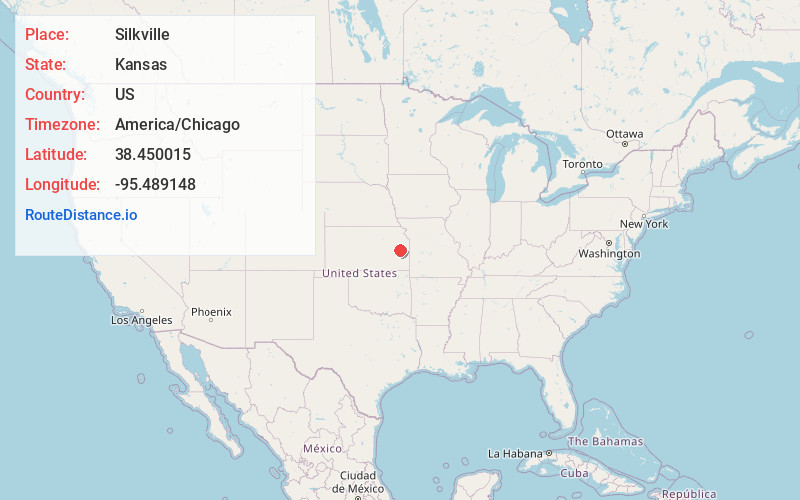
Location Information
-
Full AddressSilkville, Williamsburg Township, KS 66095
-
Coordinates38.4500149, -95.4891477
-
LocationWilliamsburg Township , Kansas , US
-
TimezoneAmerica/Chicago
-
Current Local Time5:26:39 PM America/ChicagoTuesday, June 17, 2025
-
Page Views0
About Silkville
Silkville is a ghost town in Williamsburg Township, Franklin County, Kansas, United States. It was located approximately two miles southwest of Williamsburg at the intersection of U.S. 50 highway and Arkansas Road.

Nearby Places
Found 10 places within 50 miles

Williamsburg
2.4 mi
3.9 km
Williamsburg, KS
Get directions

Waverly
7.3 mi
11.7 km
Waverly, KS 66871
Get directions

Melvern
9.0 mi
14.5 km
Melvern, KS 66510
Get directions
Quenemo
9.2 mi
14.8 km
Quenemo, KS 66528
Get directions

Pomona
11.1 mi
17.9 km
Pomona, KS 66076
Get directions
Princeton
11.9 mi
19.2 km
Princeton, KS 66078
Get directions
Richmond
13.1 mi
21.1 km
Richmond, KS 66080
Get directions
Olivet
14.4 mi
23.2 km
Olivet, KS 66856
Get directions
Ridgeton
15.2 mi
24.5 km
Ridgeton, Olivet Township, KS 66856
Get directions

Lyndon
15.3 mi
24.6 km
Lyndon, KS 66451
Get directions
Location Links
Local Weather
Weather Information
Coming soon!
Location Map
Static map view of Silkville, Kansas
Browse Places by Distance
Places within specific distances from Silkville
Short Distances
Long Distances
Click any distance to see all places within that range from Silkville. Distances shown in miles (1 mile ≈ 1.61 kilometers).