Distance to Silverbow, Nevada

Calculating Your Route
Just a moment while we process your request...
Location Information
-
Full AddressSilverbow, NV
-
Coordinates37.8879937, -116.4919992
-
LocationNevada , US
-
TimezoneAmerica/Los_Angeles
-
Current Local Time10:36:21 AM America/Los_AngelesFriday, June 6, 2025
-
Page Views0
Nearby Places
Found 10 places within 50 miles

Golden Arrow
9.8 mi
15.8 km
Golden Arrow, NV
Get directions
Mellan
13.4 mi
21.6 km
Mellan, NV
Get directions

Warm Springs
21.9 mi
35.2 km
Warm Springs, NV
Get directions
Tybo
33.7 mi
54.2 km
Tybo, NV 89049
Get directions

Belmont
41.5 mi
66.8 km
Belmont, Tonopah, NV 89049
Get directions
Florence Hill
41.6 mi
66.9 km
Florence Hill, NV 89013
Get directions

Tonopah
42.1 mi
67.8 km
Tonopah, NV 89049
Get directions

Goldfield
42.5 mi
68.4 km
Goldfield, NV 89013
Get directions
Ralston
42.8 mi
68.9 km
Ralston, NV
Get directions
West Spring
44.0 mi
70.8 km
West Spring, NV 89013
Get directions
Location Links
Local Weather
Weather Information
Coming soon!
Location Map
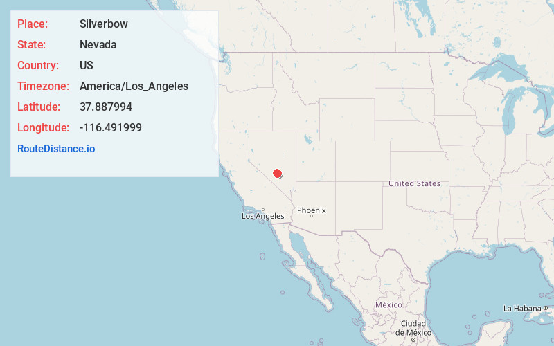
Static map view of Silverbow, Nevada
Browse Places by Distance
Places within specific distances from Silverbow
Short Distances
Long Distances
Click any distance to see all places within that range from Silverbow. Distances shown in miles (1 mile ≈ 1.61 kilometers).