Distance to Silvergate II, Arizona

Calculating Your Route
Just a moment while we process your request...
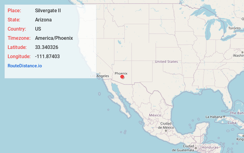
Location Information
-
Full AddressSilvergate II, Chandler, AZ 85224
-
Coordinates33.3403259, -111.8740295
-
LocationChandler , Arizona , US
-
TimezoneAmerica/Phoenix
-
Current Local Time9:32:36 AM America/PhoenixThursday, June 19, 2025
-
Page Views0
Nearby Places
Found 10 places within 50 miles

Cloverleaf
0.7 mi
1.1 km
Cloverleaf, Chandler, AZ 85224
Get directions
Sun Tech
0.9 mi
1.4 km
Sun Tech, Chandler, AZ 85224
Get directions
Marlborough Mesa
1.9 mi
3.1 km
Marlborough Mesa, Mesa, AZ 85210
Get directions
Falfa
2.4 mi
3.9 km
Falfa, Gilbert, AZ 85233
Get directions
Tremaine
2.7 mi
4.3 km
Tremaine, Gilbert, AZ 85233
Get directions
Pepperwood
2.8 mi
4.5 km
Pepperwood, Chandler, AZ 85226
Get directions

Chandler
3.0 mi
4.8 km
Chandler, AZ
Get directions
Parkview Mesa
3.3 mi
5.3 km
Parkview Mesa, Mesa, AZ 85210
Get directions
Corona Village
3.3 mi
5.3 km
Corona Village, Chandler, AZ 85226
Get directions
McQueen
3.7 mi
6.0 km
McQueen, Mesa, AZ 85210
Get directions
Location Links
Local Weather
Weather Information
Coming soon!
Location Map
Static map view of Silvergate II, Arizona
Browse Places by Distance
Places within specific distances from Silvergate II
Short Distances
Long Distances
Click any distance to see all places within that range from Silvergate II. Distances shown in miles (1 mile ≈ 1.61 kilometers).