Distance to Silverton, Oregon

Calculating Your Route
Just a moment while we process your request...
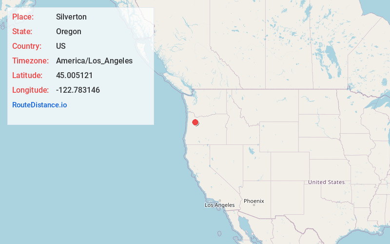
Location Information
-
Full AddressSilverton, OR 97381
-
Coordinates45.0051213, -122.7831455
-
LocationSilverton , Oregon , US
-
TimezoneAmerica/Los_Angeles
-
Current Local Time6:42:24 PM America/Los_AngelesThursday, June 26, 2025
-
Website
-
Page Views0
About Silverton
Silverton is a city in Marion County, Oregon, United States. The city is situated along the 45th parallel about 12 miles northeast of Salem, in the eastern margins of the broad alluvial plain of the Willamette Valley.


Nearby Places
Found 10 places within 50 miles

Bethany
1.8 mi
2.9 km
Bethany, OR 97381
Get directions

Hayesville
9.4 mi
15.1 km
Hayesville, OR 97305
Get directions

Woodburn
10.2 mi
16.4 km
Woodburn, OR
Get directions

Four Corners
11.1 mi
17.9 km
Four Corners, OR
Get directions

Keizer
11.9 mi
19.2 km
Keizer, OR
Get directions

Salem
13.5 mi
21.7 km
Salem, OR
Get directions

Canby
18.3 mi
29.5 km
Canby, OR 97013
Get directions

Wilsonville
20.6 mi
33.2 km
Wilsonville, OR
Get directions

Newberg
22.5 mi
36.2 km
Newberg, OR 97132
Get directions

Sherwood
24.5 mi
39.4 km
Sherwood, OR
Get directions
Location Links
Local Weather
Weather Information
Coming soon!
Location Map
Static map view of Silverton, Oregon
Browse Places by Distance
Places within specific distances from Silverton
Short Distances
Long Distances
Click any distance to see all places within that range from Silverton. Distances shown in miles (1 mile ≈ 1.61 kilometers).