Distance to Silverton, Ohio

Calculating Your Route
Just a moment while we process your request...
Location Information
-
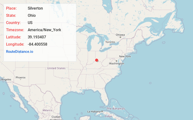
Full AddressSilverton, OH
-
Coordinates39.193407, -84.4005575
-
LocationSilverton , Ohio , US
-
TimezoneAmerica/New_York
-
Current Local Time4:24:22 AM America/New_YorkSunday, June 15, 2025
-
Website
-
Page Views0
About Silverton
Silverton is a village in Hamilton County, Ohio, United States. The village was formed out of Columbia and Sycamore townships, but withdrew from both and formed a paper township. The population was 4,908 at the 2020 census.


Nearby Places
Found 10 places within 50 miles

Deer Park
0.9 mi
1.4 km
Deer Park, OH 45236
Get directions

Kenwood
2.1 mi
3.4 km
Kenwood, OH
Get directions

Blue Ash
2.9 mi
4.7 km
Blue Ash, OH
Get directions
Reading
3.1 mi
5.0 km
Reading, OH
Get directions

Indian Hill
3.1 mi
5.0 km
Indian Hill, OH
Get directions

Montgomery
3.5 mi
5.6 km
Montgomery, OH
Get directions

Norwood
3.5 mi
5.6 km
Norwood, OH
Get directions

Wyoming
4.4 mi
7.1 km
Wyoming, OH
Get directions

Sharonville
5.2 mi
8.4 km
Sharonville, OH
Get directions

Milford
5.8 mi
9.3 km
Milford, OH
Get directions
Location Links
Local Weather
Weather Information
Coming soon!
Location Map
Static map view of Silverton, Ohio
Browse Places by Distance
Places within specific distances from Silverton
Short Distances
Long Distances
Click any distance to see all places within that range from Silverton. Distances shown in miles (1 mile ≈ 1.61 kilometers).