Distance to Simpson, Minnesota

Calculating Your Route
Just a moment while we process your request...
Location Information
-
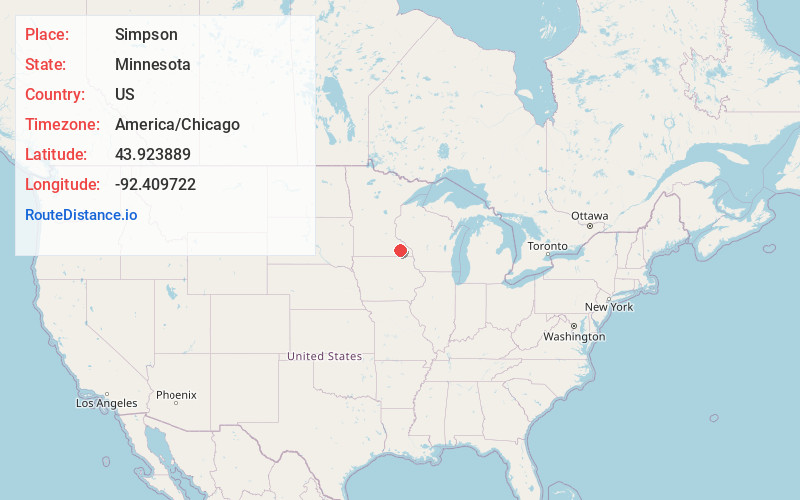
Full AddressSimpson, MN 55904
-
Coordinates43.923889, -92.409722
-
LocationSimpson , Minnesota , US
-
TimezoneAmerica/Chicago
-
Current Local Time10:01:49 AM America/ChicagoMonday, June 23, 2025
-
Page Views0
About Simpson
Simpson is an unincorporated community in Pleasant Grove Township, Olmsted County, Minnesota, United States, near Rochester and Stewartville. The community is located along Olmsted County Road 1 near County Road 16 and 68th Street SE. Whitney Creek flows nearby.
Nearby Places
Found 10 places within 50 miles

Marion
3.3 mi
5.3 km
Marion, MN 55904
Get directions
Judge
3.7 mi
6.0 km
Judge, High Forest Township, MN 55904
Get directions

Willow Creek Reservoir
4.2 mi
6.8 km
Willow Creek Reservoir, Rochester, MN 55902
Get directions

Stewartville
6.1 mi
9.8 km
Stewartville, MN 55976
Get directions

Rochester
7.0 mi
11.3 km
Rochester, MN
Get directions
High Forest
8.9 mi
14.3 km
High Forest, MN 55976
Get directions

Eyota
10.0 mi
16.1 km
Eyota, MN 55934
Get directions

Racine
10.8 mi
17.4 km
Racine, MN 55967
Get directions
Viola
11.9 mi
19.2 km
Viola, MN 55934
Get directions

Chatfield
12.4 mi
20.0 km
Chatfield, MN 55923
Get directions
Location Links
Local Weather
Weather Information
Coming soon!
Location Map
Static map view of Simpson, Minnesota
Browse Places by Distance
Places within specific distances from Simpson
Short Distances
Long Distances
Click any distance to see all places within that range from Simpson. Distances shown in miles (1 mile ≈ 1.61 kilometers).