Distance to Skytop, Pennsylvania

Calculating Your Route
Just a moment while we process your request...
Location Information
-
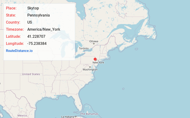
Full AddressSkytop, PA 18357
-
Coordinates41.2287065, -75.2383842
-
LocationSkytop , Pennsylvania , US
-
TimezoneAmerica/New_York
-
Current Local Time12:40:47 PM America/New_YorkThursday, June 19, 2025
-
Page Views0
About Skytop
Skytop is an unincorporated community in Barrett Township, Monroe County, Pennsylvania, United States. Located north of Mountainhome, it is accessible by local roads off Route 390.


Nearby Places
Found 10 places within 50 miles

Mountainhome
4.2 mi
6.8 km
Mountainhome, PA
Get directions
La Anna
5.2 mi
8.4 km
La Anna, PA 18466
Get directions

Cresco
5.4 mi
8.7 km
Cresco, PA 18326
Get directions

South Sterling
6.2 mi
10.0 km
South Sterling, PA 18445
Get directions

Newfoundland
6.9 mi
11.1 km
Newfoundland, PA 18445
Get directions
Pine Flats
7.1 mi
11.4 km
Pine Flats, Porter Township, PA 18328
Get directions
Angels
7.5 mi
12.1 km
Angels, PA 18445
Get directions

Coolbaugh Township
8.4 mi
13.5 km
Coolbaugh Township, PA
Get directions
Pocono Springs
9.5 mi
15.3 km
Pocono Springs, PA 18424
Get directions

Mt Pocono
9.9 mi
15.9 km
Mt Pocono, PA 18344
Get directions
Location Links
Local Weather
Weather Information
Coming soon!
Location Map
Static map view of Skytop, Pennsylvania
Browse Places by Distance
Places within specific distances from Skytop
Short Distances
Long Distances
Click any distance to see all places within that range from Skytop. Distances shown in miles (1 mile ≈ 1.61 kilometers).