Distance to Slab Fork, West Virginia

Calculating Your Route
Just a moment while we process your request...
Location Information
-
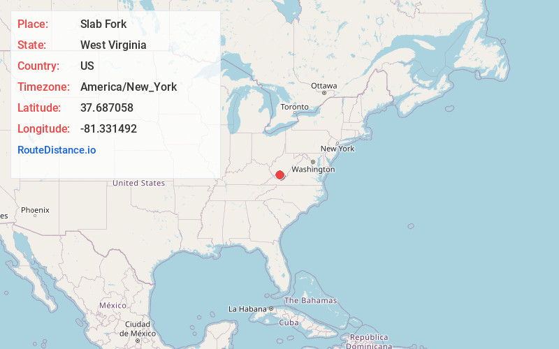
Full AddressSlab Fork, WV 25920
-
Coordinates37.6870584, -81.3314915
-
LocationSlab Fork , West Virginia , US
-
TimezoneAmerica/New_York
-
Current Local Time1:29:07 PM America/New_YorkThursday, June 19, 2025
-
Page Views0
About Slab Fork
Slab Fork is an unincorporated community in Raleigh County, West Virginia, United States with a population of 202. Slab Fork is located along a stream of the same name and County Route 34, just east of West Virginia Route 54. The ZIP code for Slab Fork is 25920.
Nearby Places
Found 10 places within 50 miles

Tams
2.0 mi
3.2 km
Tams, WV 25915
Get directions

Winding Gulf
2.0 mi
3.2 km
Winding Gulf, West Virginia
Get directions
McAlpin
2.9 mi
4.7 km
McAlpin, WV 25915
Get directions
Helen
3.7 mi
6.0 km
Helen, WV
Get directions

Lester
3.7 mi
6.0 km
Lester, WV
Get directions
Maple Meadow
3.8 mi
6.1 km
Maple Meadow, WV 25865
Get directions
Glen White
4.1 mi
6.6 km
Glen White, WV
Get directions

Sophia
4.6 mi
7.4 km
Sophia, WV
Get directions


Leaflet © OpenStreetMap contributors
Location Links
Local Weather
Weather Information
Coming soon!
Location Map
Static map view of Slab Fork, West Virginia
Browse Places by Distance
Places within specific distances from Slab Fork
Short Distances
Long Distances
Click any distance to see all places within that range from Slab Fork. Distances shown in miles (1 mile ≈ 1.61 kilometers).