Distance to Slate Run, Pennsylvania

Calculating Your Route
Just a moment while we process your request...
Location Information
-
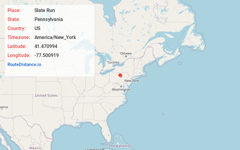
Full AddressSlate Run, PA 17769
-
Coordinates41.470994, -77.500919
-
LocationSlate Run , Pennsylvania , US
-
TimezoneAmerica/New_York
-
Current Local Time9:08:08 AM America/New_YorkMonday, June 23, 2025
-
Page Views0
About Slate Run
Slate Run is an unincorporated community in Brown Township, Lycoming County, in the U.S. state of Pennsylvania. It lies between Blackwell and Waterville along Pennsylvania Route 414. Slate Run, a stream with the same name as the community, enters Pine Creek at Slate Run, in the Pine Creek Gorge.


Nearby Places
Found 10 places within 50 miles

Brown Township
1.6 mi
2.6 km
Brown Township, PA
Get directions

Beulah Land
3.1 mi
5.0 km
Beulah Land, Brown Township, PA 17727
Get directions
Cedar Pines
3.5 mi
5.6 km
Cedar Pines, Brown Township, PA 17727
Get directions

Cedar Run
4.6 mi
7.4 km
Cedar Run, PA 17727
Get directions

Cammal
5.1 mi
8.2 km
Cammal, PA 17723
Get directions
Okome
5.1 mi
8.2 km
Okome, PA 17723
Get directions
Lebo Vista
5.9 mi
9.5 km
Lebo Vista, McHenry Township, PA 17745
Get directions
Leetonia
8.9 mi
14.3 km
Leetonia, PA 16921
Get directions
Jersey Mills
9.3 mi
15.0 km
Jersey Mills, PA 17776
Get directions

Carsontown
9.7 mi
15.6 km
Carsontown, PA 17776
Get directions
Location Links
Local Weather
Weather Information
Coming soon!
Location Map
Static map view of Slate Run, Pennsylvania
Browse Places by Distance
Places within specific distances from Slate Run
Short Distances
Long Distances
Click any distance to see all places within that range from Slate Run. Distances shown in miles (1 mile ≈ 1.61 kilometers).