Distance to Slaterville Springs, New York

Calculating Your Route
Just a moment while we process your request...
Location Information
-
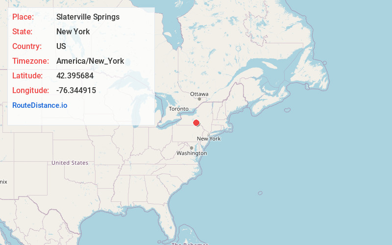
Full AddressSlaterville Springs, NY
-
Coordinates42.3956843, -76.3449152
-
LocationSlaterville Springs , New York , US
-
TimezoneAmerica/New_York
-
Current Local Time10:13:53 AM America/New_YorkSaturday, June 28, 2025
-
Page Views0
About Slaterville Springs
Slaterville Springs is a hamlet in Tompkins County, New York, United States. The community is located along New York State Route 79 8.4 miles east-southeast of Ithaca, in the town of Caroline. Slaterville Springs has a post office with ZIP code 14881, which opened on August 8, 1823.


Nearby Places
Found 10 places within 50 miles

Varna
6.3 mi
10.1 km
Varna, NY 14850
Get directions

Harford
6.4 mi
10.3 km
Harford, NY 13835
Get directions

East Ithaca
6.6 mi
10.6 km
East Ithaca, NY 14850
Get directions

South Hill
7.2 mi
11.6 km
South Hill, NY 14850
Get directions
Forest Home
7.4 mi
11.9 km
Forest Home, NY 14850
Get directions

Danby
7.6 mi
12.2 km
Danby, NY 14850
Get directions
Richford
7.9 mi
12.7 km
Richford, NY 13835
Get directions
Northeast Ithaca
7.9 mi
12.7 km
Northeast Ithaca, NY 14850
Get directions

Freeville
8.2 mi
13.2 km
Freeville, NY 13068
Get directions

Cayuga Heights
8.5 mi
13.7 km
Cayuga Heights, NY 14850
Get directions
Location Links
Local Weather
Weather Information
Coming soon!
Location Map
Static map view of Slaterville Springs, New York
Browse Places by Distance
Places within specific distances from Slaterville Springs
Short Distances
Long Distances
Click any distance to see all places within that range from Slaterville Springs. Distances shown in miles (1 mile ≈ 1.61 kilometers).