Distance to Slave Lake, Alberta

Calculating Your Route
Just a moment while we process your request...
Location Information
-
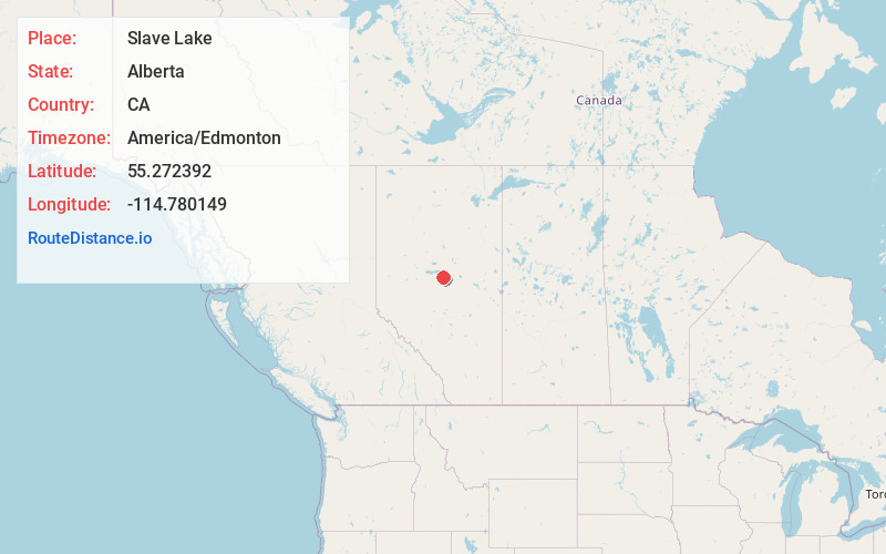
Full AddressSlave Lake, AB, Canada
-
Coordinates55.2723922, -114.7801488
-
LocationSlave Lake , Alberta , CA
-
TimezoneAmerica/Edmonton
-
Current Local Time2:49:39 AM America/EdmontonThursday, May 29, 2025
-
Website
-
Page Views0
About Slave Lake
Slave Lake is a town in northern Alberta, Canada that is surrounded by the Municipal District of Lesser Slave River No. 124. It is approximately 255 km northwest of Edmonton. It is located on the southeast shore of Lesser Slave Lake at the junction of Highway 2 and Highway 88.


Location Links
Local Weather
Weather Information
Coming soon!
Location Map
Static map view of Slave Lake, Alberta
Browse Places by Distance
Places within specific distances from Slave Lake
Short Distances
Long Distances
Click any distance to see all places within that range from Slave Lake. Distances shown in miles (1 mile ≈ 1.61 kilometers).