Distance to Smith Mills, Kentucky

Calculating Your Route
Just a moment while we process your request...
Location Information
-
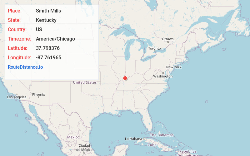
Full AddressSmith Mills, KY 42420
-
Coordinates37.7983756, -87.7619645
-
LocationSmith Mills , Kentucky , US
-
TimezoneAmerica/Chicago
-
Current Local Time7:39:51 AM America/ChicagoWednesday, June 18, 2025
-
Page Views0
About Smith Mills
Smith Mills is an unincorporated community and coal town in Henderson County, Kentucky, United States. Their post office opened in May 1820.
John Miller Cooper was born in Smith Mills.

Nearby Places
Found 10 places within 50 miles

King Mills
4.3 mi
6.9 km
King Mills, KY 42462
Get directions
Hitesville
4.8 mi
7.7 km
Hitesville, KY 42462
Get directions

Corydon
4.9 mi
7.9 km
Corydon, KY 42406
Get directions
Jonesburg
5.4 mi
8.7 km
Jonesburg, KY 42406
Get directions
Wilson
5.8 mi
9.3 km
Wilson, KY 42406
Get directions
Waverly
6.7 mi
10.8 km
Waverly, KY 42462
Get directions
St Vincent
7.7 mi
12.4 km
St Vincent, KY 42462
Get directions
Finley Addition
7.8 mi
12.6 km
Finley Addition, KY 42420
Get directions

Cairo
8.9 mi
14.3 km
Cairo, KY 42420
Get directions
Flournoy
8.9 mi
14.3 km
Flournoy, Morganfield, KY 42437
Get directions
Location Links
Local Weather
Weather Information
Coming soon!
Location Map
Static map view of Smith Mills, Kentucky
Browse Places by Distance
Places within specific distances from Smith Mills
Short Distances
Long Distances
Click any distance to see all places within that range from Smith Mills. Distances shown in miles (1 mile ≈ 1.61 kilometers).