Distance to Smithburg, West Virginia

Calculating Your Route
Just a moment while we process your request...
Location Information
-
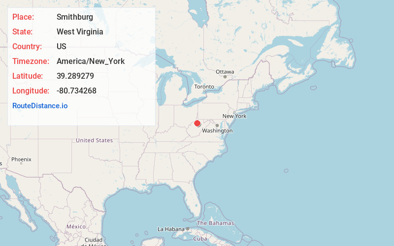
Full AddressSmithburg, WV 26411
-
Coordinates39.289279, -80.734268
-
LocationSmithburg , West Virginia , US
-
TimezoneAmerica/New_York
-
Current Local Time9:48:02 PM America/New_YorkWednesday, June 25, 2025
-
Page Views0
About Smithburg
Smithburg is an unincorporated community in Doddridge County in the U.S. state of West Virginia. It is located along U.S. Route 50. Middle Island Creek, the longest stream in West Virginia to be named a "creek," is formed in Smithburg by the confluence of Meathouse Fork and Buckeye Creek.
Nearby Places
Found 10 places within 50 miles

West Union
2.3 mi
3.7 km
West Union, WV 26456
Get directions

Blandville
2.6 mi
4.2 km
Blandville, WV 26411
Get directions
Harlin
2.8 mi
4.5 km
Harlin, WV 26411
Get directions
Sherwood
3.1 mi
5.0 km
Sherwood, WV 26411
Get directions
New Milton
4.9 mi
7.9 km
New Milton, WV 26411
Get directions
Canton
5.1 mi
8.2 km
Canton, WV 26320
Get directions
Middle Point
5.8 mi
9.3 km
Middle Point, WV 26321
Get directions
Doak
5.8 mi
9.3 km
Doak, WV 26339
Get directions
Market
6.1 mi
9.8 km
Market, WV 26321
Get directions
Nina
6.2 mi
10.0 km
Nina, WV 26411
Get directions
Location Links
Local Weather
Weather Information
Coming soon!
Location Map
Static map view of Smithburg, West Virginia
Browse Places by Distance
Places within specific distances from Smithburg
Short Distances
Long Distances
Click any distance to see all places within that range from Smithburg. Distances shown in miles (1 mile ≈ 1.61 kilometers).