Distance to Smithfield, Pennsylvania

Calculating Your Route
Just a moment while we process your request...
Location Information
-
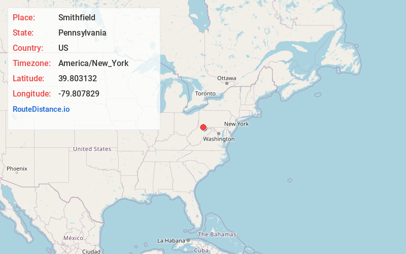
Full AddressSmithfield, PA 15478
-
Coordinates39.8031324, -79.8078289
-
LocationSmithfield , Pennsylvania , US
-
TimezoneAmerica/New_York
-
Current Local Time10:38:19 AM America/New_YorkMonday, June 23, 2025
-
Page Views0
About Smithfield
Smithfield is a borough in Fayette County, Pennsylvania, United States. The population was 830 at the 2020 census. It is served by the Albert Gallatin Area School District. The town's largest employer is a small wire-producing plant run by Nelson Steel.


Nearby Places
Found 10 places within 50 miles

Collier
3.6 mi
5.8 km
Collier, Georges Township, PA 15401
Get directions
South Uniontown
7.0 mi
11.3 km
South Uniontown, PA 15401
Get directions

Uniontown
8.3 mi
13.4 km
Uniontown, PA 15401
Get directions

Cheat Lake
9.4 mi
15.1 km
Cheat Lake, WV 26508
Get directions

North Union Township
10.2 mi
16.4 km
North Union Township, PA
Get directions

Morgantown
14.3 mi
23.0 km
Morgantown, WV
Get directions

Greene County
20.2 mi
32.5 km
Greene County, PA
Get directions
Rostraver Township
25.0 mi
40.2 km
Rostraver Township, PA
Get directions
Amity
26.6 mi
42.8 km
Amity, PA 15311
Get directions

Fairmont
28.3 mi
45.5 km
Fairmont, WV 26554
Get directions
Location Links
Local Weather
Weather Information
Coming soon!
Location Map
Static map view of Smithfield, Pennsylvania
Browse Places by Distance
Places within specific distances from Smithfield
Short Distances
Long Distances
Click any distance to see all places within that range from Smithfield. Distances shown in miles (1 mile ≈ 1.61 kilometers).