Distance to Smithton, Missouri

Calculating Your Route
Just a moment while we process your request...
Location Information
-
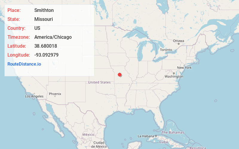
Full AddressSmithton, MO 65350
-
Coordinates38.6800181, -93.092979
-
LocationSmithton , Missouri , US
-
TimezoneAmerica/Chicago
-
Current Local Time4:50:04 PM America/ChicagoWednesday, June 18, 2025
-
Page Views0
About Smithton
Smithton is a city in Pettis County, Missouri, United States. The population was 570 at the 2010 census.

Nearby Places
Found 10 places within 50 miles

Sedalia
7.5 mi
12.1 km
Sedalia, MO 65301
Get directions

Cole Camp
16.3 mi
26.2 km
Cole Camp, MO 65325
Get directions

Pilot Grove
16.6 mi
26.7 km
Pilot Grove, MO 65276
Get directions

Tipton
17.0 mi
27.4 km
Tipton, MO 65081
Get directions

Stover
17.4 mi
28.0 km
Stover, MO 65078
Get directions

Green Ridge
17.6 mi
28.3 km
Green Ridge, MO 65332
Get directions

La Monte
19.1 mi
30.7 km
La Monte, MO 65337
Get directions

Versailles
21.9 mi
35.2 km
Versailles, MO 65084
Get directions

Lincoln
23.9 mi
38.5 km
Lincoln, MO 65338
Get directions

Windsor
25.3 mi
40.7 km
Windsor, MO 65360
Get directions
Location Links
Local Weather
Weather Information
Coming soon!
Location Map
Static map view of Smithton, Missouri
Browse Places by Distance
Places within specific distances from Smithton
Short Distances
Long Distances
Click any distance to see all places within that range from Smithton. Distances shown in miles (1 mile ≈ 1.61 kilometers).