Distance to Smithton, Pennsylvania

Calculating Your Route
Just a moment while we process your request...
Location Information
-
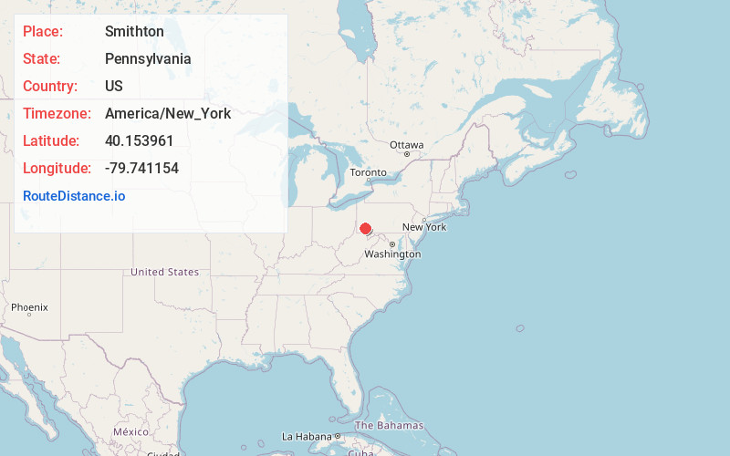
Full AddressSmithton, PA
-
Coordinates40.1539613, -79.7411535
-
LocationSmithton , Pennsylvania , US
-
TimezoneAmerica/New_York
-
Current Local Time7:10:03 PM America/New_YorkWednesday, May 28, 2025
-
Page Views0
About Smithton
Smithton is a borough in Westmoreland County, Pennsylvania, United States. The population was 399 at the 2010 census. As of 2018, the population was listed at 378. Smithton has its own post office, with zip code 15479, and is serviced by Yough School District.


Nearby Places
Found 10 places within 50 miles

Rostraver Township
3.6 mi
5.8 km
Rostraver Township, PA
Get directions

South Huntingdon Township
3.6 mi
5.8 km
South Huntingdon Township, PA
Get directions
Wyano
3.8 mi
6.1 km
Wyano, PA
Get directions

West Newton
4.1 mi
6.6 km
West Newton, PA 15089
Get directions

Perryopolis
4.7 mi
7.6 km
Perryopolis, PA 15473
Get directions
Fellsburg
4.9 mi
7.9 km
Fellsburg, PA 15012
Get directions

Collinsburg
5.1 mi
8.2 km
Collinsburg, PA 15089
Get directions
Yukon
5.1 mi
8.2 km
Yukon, PA
Get directions
Lower Tyrone Township
5.8 mi
9.3 km
Lower Tyrone Township, PA 15428
Get directions
Fairhope
5.8 mi
9.3 km
Fairhope, PA 15012
Get directions
Location Links
Local Weather
Weather Information
Coming soon!
Location Map
Static map view of Smithton, Pennsylvania
Browse Places by Distance
Places within specific distances from Smithton
Short Distances
Long Distances
Click any distance to see all places within that range from Smithton. Distances shown in miles (1 mile ≈ 1.61 kilometers).