Distance to Smoke Bend, Louisiana

Calculating Your Route
Just a moment while we process your request...
Location Information
-
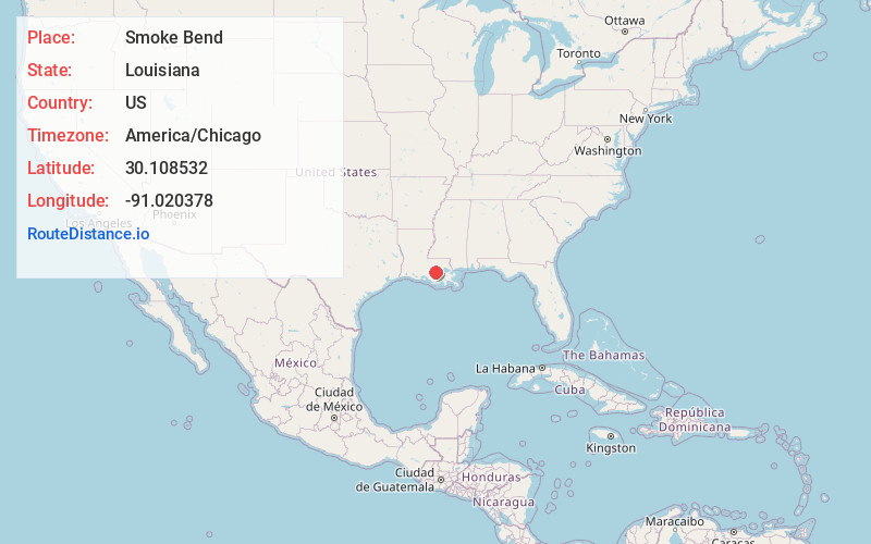
Full AddressSmoke Bend, LA 70346
-
Coordinates30.108532, -91.0203781
-
LocationLouisiana , US
-
TimezoneAmerica/Chicago
-
Current Local Time1:40:25 PM America/ChicagoWednesday, May 28, 2025
-
Page Views0
About Smoke Bend
Smoke Bend is an unincorporated community in Ascension Parish, Louisiana, United States.
A small cottage from the 1870s named Rome House, listed on the National Register of Historic Places, is located here.
Nearby Places
Found 10 places within 50 miles

Palo Alto
1.6 mi
2.6 km
Palo Alto, LA 70346
Get directions

Donaldsonville
1.7 mi
2.7 km
Donaldsonville, LA 70346
Get directions

Darrow
2.2 mi
3.5 km
Darrow, LA 70725
Get directions
Barton
2.6 mi
4.2 km
Barton, LA 70346
Get directions
St Elmo Revetment
3.1 mi
5.0 km
St Elmo Revetment, Louisiana 70725
Get directions
Noel
3.4 mi
5.5 km
Noel, LA 70346
Get directions

Belle Rose
4.2 mi
6.8 km
Belle Rose, LA
Get directions
Hohen Solms
6.4 mi
10.3 km
Hohen Solms, LA 70346
Get directions
Southwood
7.8 mi
12.6 km
Southwood, Geismar, LA 70734
Get directions
Paincourtville
8.4 mi
13.5 km
Paincourtville, LA
Get directions
Location Links
Local Weather
Weather Information
Coming soon!
Location Map
Static map view of Smoke Bend, Louisiana
Browse Places by Distance
Places within specific distances from Smoke Bend
Short Distances
Long Distances
Click any distance to see all places within that range from Smoke Bend. Distances shown in miles (1 mile ≈ 1.61 kilometers).