Distance to Smoketown, Pennsylvania

Calculating Your Route
Just a moment while we process your request...
Location Information
-
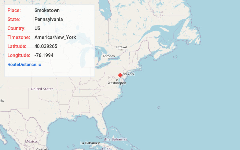
Full AddressSmoketown, PA
-
Coordinates40.0392652, -76.1993998
-
LocationSmoketown , Pennsylvania , US
-
TimezoneAmerica/New_York
-
Current Local Time10:03:58 AM America/New_YorkWednesday, May 28, 2025
-
Page Views0
About Smoketown
Smoketown is an unincorporated village and census-designated place in East Lampeter Township, Lancaster County, Pennsylvania, United States. Also known as Smoke Town, it is served by the Smoketown Airport. As of the 2010 census, it had a population of 357.
Nearby Places
Found 10 places within 50 miles

East Lampeter Township
0.7 mi
1.1 km
East Lampeter Township, PA
Get directions

Bird in Hand
0.9 mi
1.4 km
Bird in Hand, PA 17505
Get directions

Upper Leacock Township
2.7 mi
4.3 km
Upper Leacock Township, PA
Get directions

Soudersburg
2.9 mi
4.7 km
Soudersburg, PA
Get directions
Leola
3.3 mi
5.3 km
Leola, PA
Get directions

Gordonville
3.7 mi
6.0 km
Gordonville, PA 17529
Get directions

Strasburg
4.0 mi
6.4 km
Strasburg, PA 17579
Get directions
Lampeter
4.0 mi
6.4 km
Lampeter, PA 17602
Get directions

West Lampeter Township
4.0 mi
6.4 km
West Lampeter Township, PA
Get directions

Paradise
4.3 mi
6.9 km
Paradise, PA
Get directions
Location Links
Local Weather
Weather Information
Coming soon!
Location Map
Static map view of Smoketown, Pennsylvania
Browse Places by Distance
Places within specific distances from Smoketown
Short Distances
Long Distances
Click any distance to see all places within that range from Smoketown. Distances shown in miles (1 mile ≈ 1.61 kilometers).