Distance to Smoketown, Ohio

Calculating Your Route
Just a moment while we process your request...
Location Information
-
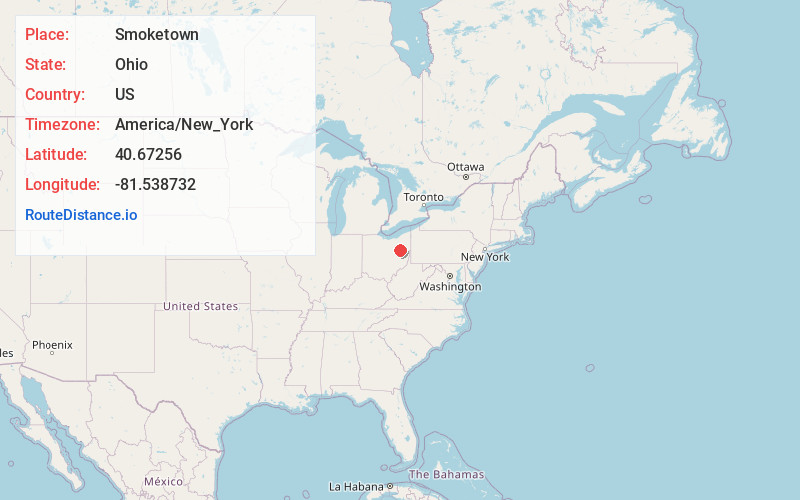
Full AddressSmoketown, Bethlehem Township, OH 44608
-
Coordinates40.67256, -81.5387323
-
LocationBethlehem Township , Ohio , US
-
TimezoneAmerica/New_York
-
Current Local Time10:08:40 PM America/New_YorkFriday, June 20, 2025
-
Page Views0
Nearby Places
Found 10 places within 50 miles

Beach City
2.6 mi
4.2 km
Beach City, OH 44608
Get directions
Navarre
3.7 mi
6.0 km
Navarre, OH
Get directions

Brewster
3.9 mi
6.3 km
Brewster, OH
Get directions
Bolivar
4.8 mi
7.7 km
Bolivar, OH 44612
Get directions

Wilmot
5.0 mi
8.0 km
Wilmot, OH
Get directions
Strasburg
5.4 mi
8.7 km
Strasburg, OH 44680
Get directions
Pigeon Run
6.1 mi
9.8 km
Pigeon Run, Ohio
Get directions
Richville
6.3 mi
10.1 km
Richville, OH
Get directions
Wilkshire Hills
6.3 mi
10.1 km
Wilkshire Hills, OH 44612
Get directions
Dundee
7.0 mi
11.3 km
Dundee, OH 44624
Get directions
Location Links
Local Weather
Weather Information
Coming soon!
Location Map
Static map view of Smoketown, Ohio
Browse Places by Distance
Places within specific distances from Smoketown
Short Distances
Long Distances
Click any distance to see all places within that range from Smoketown. Distances shown in miles (1 mile ≈ 1.61 kilometers).