Distance to Smokey Point, Washington

Calculating Your Route
Just a moment while we process your request...
Location Information
-
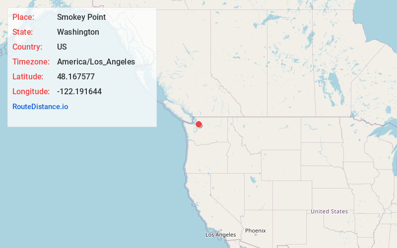
Full AddressSmokey Point, WA
-
Coordinates48.1675772, -122.191644
-
LocationSmokey Point , Washington , US
-
TimezoneAmerica/Los_Angeles
-
Current Local Time6:49:34 AM America/Los_AngelesWednesday, June 11, 2025
-
Page Views0
About Smokey Point
Smokey Point is a community and former census-designated place in northern Snohomish County, Washington. The area, developed as a suburban bedroom community in the late 20th century, was annexed into the nearby cities of Arlington and Marysville in the 1990s and 2000s.


Nearby Places
Found 10 places within 50 miles

Silvana
3.7 mi
6.0 km
Silvana, WA
Get directions

Arlington
3.7 mi
6.0 km
Arlington, WA
Get directions

Stimson Crossing
4.0 mi
6.4 km
Stimson Crossing, WA 98271
Get directions

Lake Goodwin
4.5 mi
7.2 km
Lake Goodwin, WA
Get directions

John Sam Lake
4.7 mi
7.6 km
John Sam Lake, WA 98271
Get directions
Silvana Terraces
4.9 mi
7.9 km
Silvana Terraces, WA 98292
Get directions
Sunday Lake
5.0 mi
8.0 km
Sunday Lake, WA
Get directions
Bryant
5.2 mi
8.4 km
Bryant, WA 98223
Get directions
Sisco Heights
5.7 mi
9.2 km
Sisco Heights, WA
Get directions

Arlington Heights
6.4 mi
10.3 km
Arlington Heights, WA 98223
Get directions
Location Links
Local Weather
Weather Information
Coming soon!
Location Map
Static map view of Smokey Point, Washington
Browse Places by Distance
Places within specific distances from Smokey Point
Short Distances
Long Distances
Click any distance to see all places within that range from Smokey Point. Distances shown in miles (1 mile ≈ 1.61 kilometers).