Distance to Smoot, West Virginia

Calculating Your Route
Just a moment while we process your request...
Location Information
-
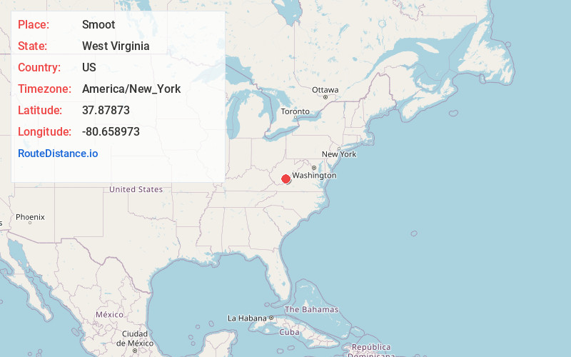
Full AddressSmoot, WV 24931
-
Coordinates37.87873, -80.6589728
-
LocationSmoot , West Virginia , US
-
TimezoneAmerica/New_York
-
Current Local Time3:32:21 AM America/New_YorkWednesday, June 18, 2025
-
Page Views0
About Smoot
Smoot is an unincorporated community in western Greenbrier County, West Virginia, United States. It lies south of the interchange of Interstate 64 and U.S. Route 60, northwest of the city of Lewisburg, the county seat of Greenbrier County. Its elevation is 2,480 feet. It has a post office with the ZIP code 24977.
Nearby Places
Found 10 places within 50 miles

Rupert
6.1 mi
9.8 km
Rupert, WV 25984
Get directions

Rainelle
8.6 mi
13.8 km
Rainelle, WV 25962
Get directions

Charmco
9.5 mi
15.3 km
Charmco, WV 25958
Get directions

Alderson
10.6 mi
17.1 km
Alderson, WV 24910
Get directions
Meadow Bridge
10.7 mi
17.2 km
Meadow Bridge, WV 25976
Get directions
Beelick Knob
11.4 mi
18.3 km
Beelick Knob, WV 25976
Get directions

Quinwood
12.6 mi
20.3 km
Quinwood, WV
Get directions

Lewisburg
12.8 mi
20.6 km
Lewisburg, WV 24901
Get directions

Fairlea
12.9 mi
20.8 km
Fairlea, WV
Get directions
Danese
13.8 mi
22.2 km
Danese, WV 25831
Get directions
Location Links
Local Weather
Weather Information
Coming soon!
Location Map
Static map view of Smoot, West Virginia
Browse Places by Distance
Places within specific distances from Smoot
Short Distances
Long Distances
Click any distance to see all places within that range from Smoot. Distances shown in miles (1 mile ≈ 1.61 kilometers).