Distance to Sneads Ferry, North Carolina

Calculating Your Route
Just a moment while we process your request...
Location Information
-
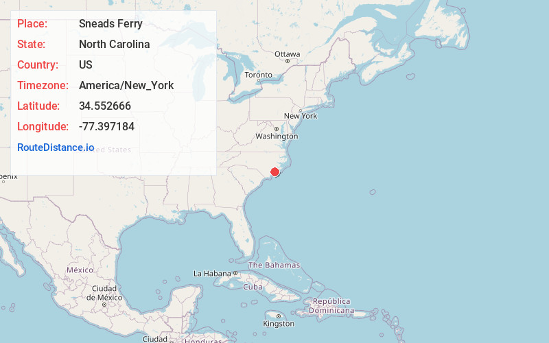
Full AddressSneads Ferry, NC 28460
-
Coordinates34.5526655, -77.3971839
-
LocationSneads Ferry , North Carolina , US
-
TimezoneAmerica/New_York
-
Current Local Time3:55:00 PM America/New_YorkMonday, June 2, 2025
-
Page Views0
About Sneads Ferry
Sneads Ferry is a census-designated place in Onslow County, North Carolina, United States. It is the second largest municipality in Onslow County, behind Jacksonville and is part of the Jacksonville, North Carolina Metropolitan Statistical Area.


Nearby Places
Found 10 places within 50 miles

Holly Ridge
9.8 mi
15.8 km
Holly Ridge, NC 28445
Get directions

Surf City
12.1 mi
19.5 km
Surf City, NC
Get directions

Piney Green
12.8 mi
20.6 km
Piney Green, NC
Get directions

Jacksonville
14.0 mi
22.5 km
Jacksonville, NC
Get directions
Pumpkin Center
16.3 mi
26.2 km
Pumpkin Center, NC 28546
Get directions

Swansboro
18.4 mi
29.6 km
Swansboro, NC
Get directions
Half Moon
19.2 mi
30.9 km
Half Moon, NC
Get directions

Cedar Point
20.7 mi
33.3 km
Cedar Point, NC 28584
Get directions

Cape Carteret
21.3 mi
34.3 km
Cape Carteret, NC
Get directions

Hampstead
22.0 mi
35.4 km
Hampstead, NC
Get directions
Location Links
Local Weather
Weather Information
Coming soon!
Location Map
Static map view of Sneads Ferry, North Carolina
Browse Places by Distance
Places within specific distances from Sneads Ferry
Short Distances
Long Distances
Click any distance to see all places within that range from Sneads Ferry. Distances shown in miles (1 mile ≈ 1.61 kilometers).