Distance to Snively, Ohio

Calculating Your Route
Just a moment while we process your request...
Location Information
-
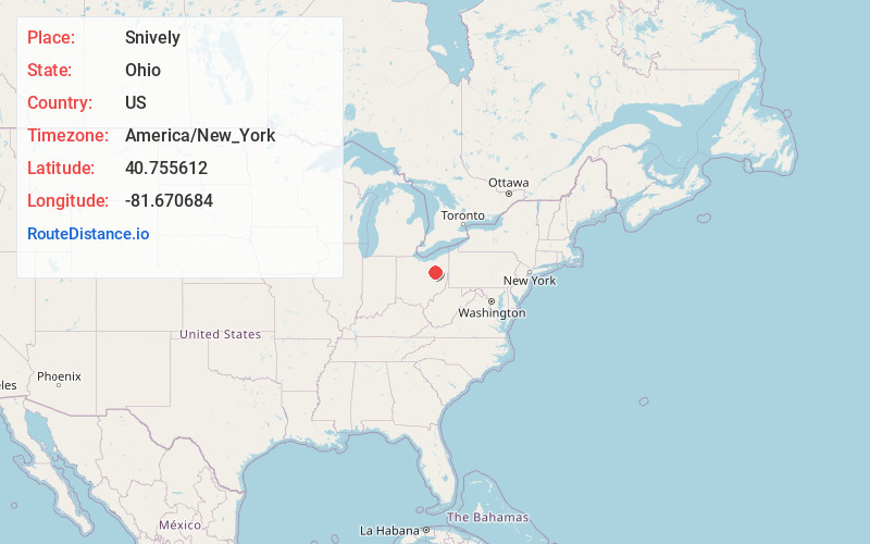
Full AddressSnively, Sugar Creek Township, OH 44618
-
Coordinates40.7556121, -81.6706835
-
LocationSugar Creek Township , Ohio , US
-
TimezoneAmerica/New_York
-
Current Local Time4:39:20 PM America/New_YorkWednesday, May 21, 2025
-
Page Views0
Nearby Places
Found 10 places within 50 miles

Dalton
3.3 mi
5.3 km
Dalton, OH 44618
Get directions

Kidron
4.0 mi
6.4 km
Kidron, OH
Get directions

Mt Eaton
4.6 mi
7.4 km
Mt Eaton, OH
Get directions

Brewster
5.1 mi
8.2 km
Brewster, OH
Get directions
Pigeon Run
5.5 mi
8.9 km
Pigeon Run, Ohio
Get directions
Sippo
5.6 mi
9.0 km
Sippo, Tuscarawas Township, OH 44647
Get directions
North Lawrence
6.3 mi
10.1 km
North Lawrence, OH 44666
Get directions
Urban Hill
6.9 mi
11.1 km
Urban Hill, Lawrence Township, OH 44666
Get directions

Wilmot
7.2 mi
11.6 km
Wilmot, OH
Get directions

Orrville
7.8 mi
12.6 km
Orrville, OH 44667
Get directions
Location Links
Local Weather
Weather Information
Coming soon!
Location Map
Static map view of Snively, Ohio
Browse Places by Distance
Places within specific distances from Snively
Short Distances
Long Distances
Click any distance to see all places within that range from Snively. Distances shown in miles (1 mile ≈ 1.61 kilometers).