Distance to Snyder, Missouri

Calculating Your Route
Just a moment while we process your request...
Location Information
-
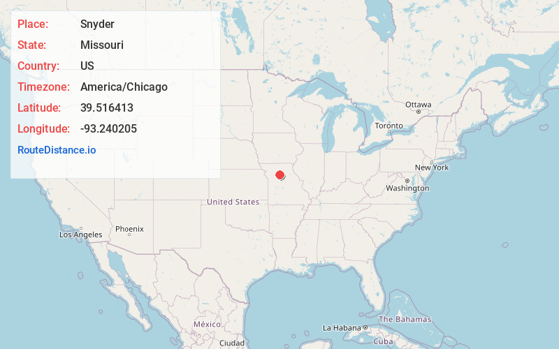
Full AddressSnyder, MO 65286
-
Coordinates39.5164126, -93.2402053
-
LocationSnyder , Missouri , US
-
TimezoneAmerica/Chicago
-
Current Local Time2:02:41 PM America/ChicagoFriday, June 20, 2025
-
Page Views0
About Snyder
Snyder is an unincorporated community in western Chariton County, Missouri, United States. It is located on Missouri Supplemental Route Z, approximately eighteen miles northeast of Carrollton. Snyder's post office has closed, and mail is now delivered from nearby Triplett.
Nearby Places
Found 10 places within 50 miles

Triplett
2.8 mi
4.5 km
Triplett, MO 65286
Get directions
Whitham
3.3 mi
5.3 km
Whitham, MO 65286
Get directions
Bosworth
6.0 mi
9.7 km
Bosworth, MO 64623
Get directions
Mendon
7.6 mi
12.2 km
Mendon, MO 64660
Get directions
Hale
8.1 mi
13.0 km
Hale, MO 64643
Get directions
Cunningham
8.7 mi
14.0 km
Cunningham, MO 64681
Get directions

Brunswick
8.7 mi
14.0 km
Brunswick, MO 65236
Get directions

De Witt
9.2 mi
14.8 km
De Witt, MO 64639
Get directions

Sumner
9.4 mi
15.1 km
Sumner, MO 64681
Get directions

Tina
10.7 mi
17.2 km
Tina, MO 64682
Get directions
Location Links
Local Weather
Weather Information
Coming soon!
Location Map
Static map view of Snyder, Missouri
Browse Places by Distance
Places within specific distances from Snyder
Short Distances
Long Distances
Click any distance to see all places within that range from Snyder. Distances shown in miles (1 mile ≈ 1.61 kilometers).