Distance to Snyders, Pennsylvania

Calculating Your Route
Just a moment while we process your request...
Location Information
-
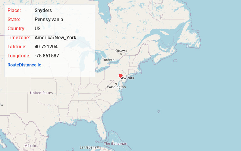
Full AddressSnyders, PA 17960
-
Coordinates40.7212036, -75.8615867
-
LocationSnyders , Pennsylvania , US
-
TimezoneAmerica/New_York
-
Current Local Time11:57:53 AM America/New_YorkThursday, June 19, 2025
-
Page Views0
About Snyders
Snyders is an unincorporated community in West Penn Township, Pennsylvania, United States, located at the junction of Routes 309 and 895. The Lizard Creek flows eastward through the village to the Lehigh River.
Nearby Places
Found 10 places within 50 miles

Leibeyville
0.7 mi
1.1 km
Leibeyville, PA 17960
Get directions
Dorset
1.5 mi
2.4 km
Dorset, PA 17960
Get directions
Mantzville
3.3 mi
5.3 km
Mantzville, West Penn Township, PA 18252
Get directions
Slateville
4.0 mi
6.4 km
Slateville, PA 19529
Get directions
Andreas
4.2 mi
6.8 km
Andreas, PA 18211
Get directions
Quaker City
4.4 mi
7.1 km
Quaker City, PA 19529
Get directions
Steinsville
4.4 mi
7.1 km
Steinsville, PA 19529
Get directions
South Tamaqua
5.2 mi
8.4 km
South Tamaqua, PA 18252
Get directions

Bears Rocks
5.4 mi
8.7 km
Bears Rocks, Lynn Township, PA 18053
Get directions
Zenners
5.5 mi
8.9 km
Zenners, PA 18252
Get directions
Location Links
Local Weather
Weather Information
Coming soon!
Location Map
Static map view of Snyders, Pennsylvania
Browse Places by Distance
Places within specific distances from Snyders
Short Distances
Long Distances
Click any distance to see all places within that range from Snyders. Distances shown in miles (1 mile ≈ 1.61 kilometers).