Distance to Snydertown, New Jersey

Calculating Your Route
Just a moment while we process your request...
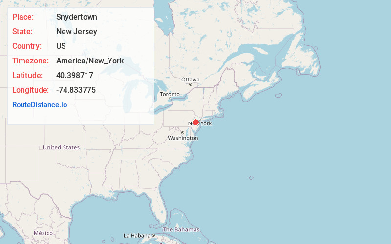
Location Information
-
Full AddressSnydertown, East Amwell Township, NJ 08525
-
Coordinates40.3987167, -74.8337751
-
LocationEast Amwell Township , New Jersey , US
-
TimezoneAmerica/New_York
-
Current Local Time10:37:42 AM America/New_YorkTuesday, June 17, 2025
-
Page Views0
About Snydertown
Snydertown is an unincorporated community located within East Amwell Township in Hunterdon County, in the U.S. state of New Jersey. The settlement is located on the southern face of Sourland Mountain at the intersection of Linvale Road and Snydertown Road. In the past, a mill operated in Snydertown.
Nearby Places
Found 10 places within 50 miles

Linvale
0.4 mi
0.6 km
Linvale, East Amwell Township, NJ 08530
Get directions
Rocktown
1.5 mi
2.4 km
Rocktown, West Amwell Township, NJ 08530
Get directions
Unionville
2.1 mi
3.4 km
Unionville, East Amwell Township, NJ 08551
Get directions

East Amwell Township
3.1 mi
5.0 km
East Amwell Township, NJ
Get directions
Harbourton
3.3 mi
5.3 km
Harbourton, Hopewell Township, NJ 08530
Get directions

Glenmoore
3.4 mi
5.5 km
Glenmoore, Hopewell Township, NJ 08525
Get directions

West Amwell Township
3.8 mi
6.1 km
West Amwell Township, NJ
Get directions

Hopewell
3.8 mi
6.1 km
Hopewell, NJ 08525
Get directions
Mt Airy
3.9 mi
6.3 km
Mt Airy, West Amwell Township, NJ 08530
Get directions
Muirhead
3.9 mi
6.3 km
Muirhead, Raritan Township, NJ 08551
Get directions
Location Links
Local Weather
Weather Information
Coming soon!
Location Map
Static map view of Snydertown, New Jersey
Browse Places by Distance
Places within specific distances from Snydertown
Short Distances
Long Distances
Click any distance to see all places within that range from Snydertown. Distances shown in miles (1 mile ≈ 1.61 kilometers).