Distance to Snyderville, Utah

Calculating Your Route
Just a moment while we process your request...
Location Information
-
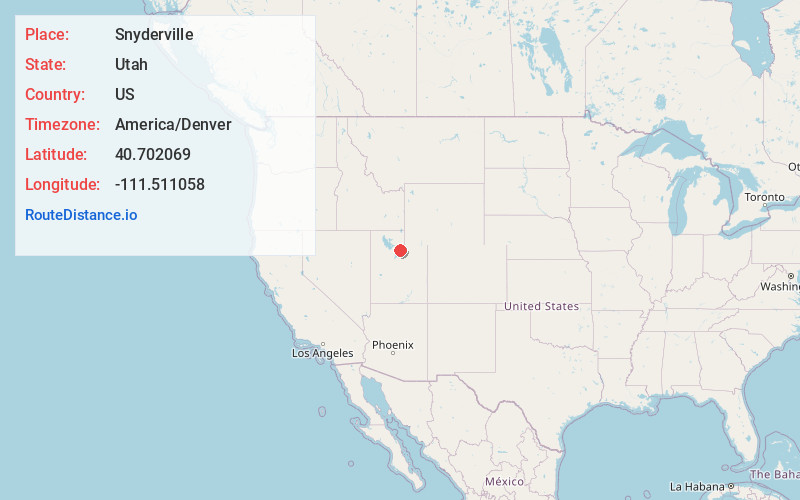
Full AddressSnyderville, UT 84098
-
Coordinates40.7020685, -111.5110576
-
LocationSnyderville , Utah , US
-
TimezoneAmerica/Denver
-
Current Local Time5:11:33 PM America/DenverWednesday, June 18, 2025
-
Page Views0
About Snyderville
Snyderville is a census-designated place near the southwestern edge of Summit County, Utah, United States. Prior to the 2010 Census, the area was designated as South Snyderville Basin CDP. The population was 3,636 at the 2000 census.


Nearby Places
Found 10 places within 50 miles

Park City
3.9 mi
6.3 km
Park City, UT
Get directions

Midway
13.3 mi
21.4 km
Midway, UT
Get directions

Heber City
15.3 mi
24.6 km
Heber City, UT 84032
Get directions

Holladay
16.6 mi
26.7 km
Holladay, UT
Get directions

Cottonwood Heights
17.0 mi
27.4 km
Cottonwood Heights, UT
Get directions

Millcreek
18.6 mi
29.9 km
Millcreek, UT
Get directions

Sandy
19.6 mi
31.5 km
Sandy, UT
Get directions

South Salt Lake
19.8 mi
31.9 km
South Salt Lake, UT
Get directions

Murray
19.9 mi
32.0 km
Murray, UT
Get directions

Salt Lake City
20.2 mi
32.5 km
Salt Lake City, UT
Get directions
Location Links
Local Weather
Weather Information
Coming soon!
Location Map
Static map view of Snyderville, Utah
Browse Places by Distance
Places within specific distances from Snyderville
Short Distances
Long Distances
Click any distance to see all places within that range from Snyderville. Distances shown in miles (1 mile ≈ 1.61 kilometers).