Distance to Soda Bay, California

Calculating Your Route
Just a moment while we process your request...
Location Information
-
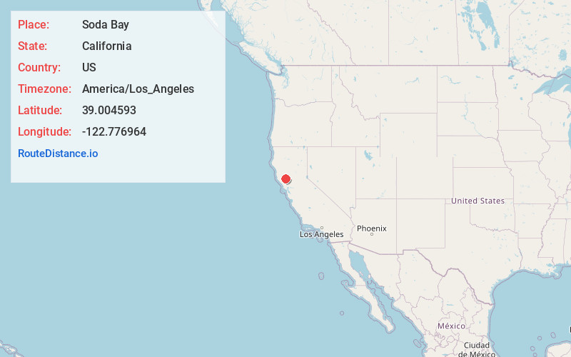
Full AddressSoda Bay, CA 95451
-
Coordinates39.004593, -122.7769635
-
LocationSoda Bay , California , US
-
TimezoneAmerica/Los_Angeles
-
Current Local Time4:38:03 AM America/Los_AngelesSaturday, June 7, 2025
-
Page Views0
About Soda Bay
Soda Bay is a census-designated place in Lake County, California. It is located on Clear Lake 7.5 miles east-southeast of Lakeport, at an elevation of 1,398 feet. The population was 1,016 at the 2010 census.
A resort at the place, called Soda Bay Springs, could by 1910 accommodate 150 guests.

Nearby Places
Found 10 places within 50 miles

Kelseyville
3.8 mi
6.1 km
Kelseyville, CA 95451
Get directions

Lucerne
6.0 mi
9.7 km
Lucerne, CA 95458
Get directions

Lakeport
7.9 mi
12.7 km
Lakeport, CA 95453
Get directions

Clearlake
8.4 mi
13.5 km
Clearlake, CA
Get directions

North Lakeport
8.8 mi
14.2 km
North Lakeport, CA 95453
Get directions

Nice
9.0 mi
14.5 km
Nice, CA
Get directions

Spring Valley
10.6 mi
17.1 km
Spring Valley, CA 95423
Get directions

Lower Lake
11.1 mi
17.9 km
Lower Lake, CA 95457
Get directions

Upper Lake
13.2 mi
21.2 km
Upper Lake, CA 95485
Get directions

Hidden Valley Lake
18.0 mi
29.0 km
Hidden Valley Lake, CA
Get directions
Location Links
Local Weather
Weather Information
Coming soon!
Location Map
Static map view of Soda Bay, California
Browse Places by Distance
Places within specific distances from Soda Bay
Short Distances
Long Distances
Click any distance to see all places within that range from Soda Bay. Distances shown in miles (1 mile ≈ 1.61 kilometers).