Distance to Sollitt, Illinois

Calculating Your Route
Just a moment while we process your request...
Location Information
-
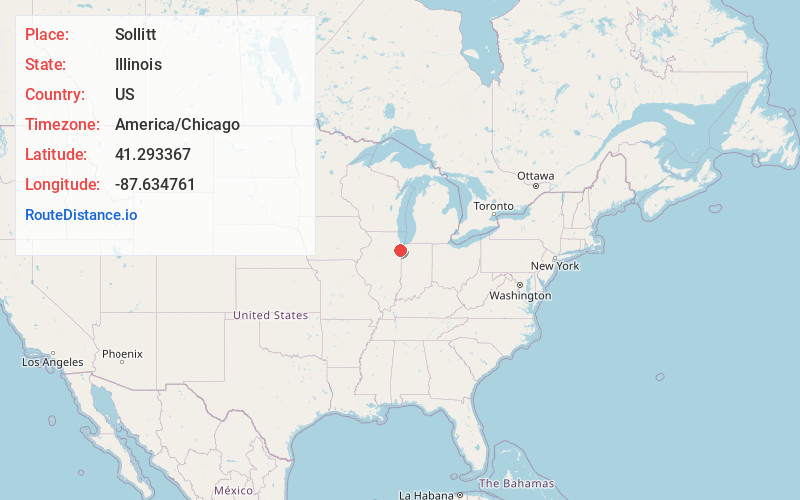
Full AddressSollitt, IL 60401
-
Coordinates41.2933674, -87.6347611
-
LocationSollitt , Illinois , US
-
TimezoneAmerica/Chicago
-
Current Local Time2:43:22 PM America/ChicagoTuesday, June 24, 2025
-
Page Views0
About Sollitt
Sollitt is an unincorporated community located in Kankakee County, Illinois, United States. It was founded by John Sollitt, who purchased the land from the United States Government in 1853. The town is located off Illinois Route 1 and County Line Road and is north of Grant Park and south of Beecher.
Nearby Places
Found 10 places within 50 miles

Beecher
3.3 mi
5.3 km
Beecher, IL 60401
Get directions

Grant Park
3.7 mi
6.0 km
Grant Park, IL 60940
Get directions
Eagle Lake
6.7 mi
10.8 km
Eagle Lake, IL 60401
Get directions
Goodenow
6.8 mi
10.9 km
Goodenow, IL 60401
Get directions

Peotone
8.3 mi
13.4 km
Peotone, IL 60468
Get directions

Momence
9.1 mi
14.6 km
Momence, IL 60954
Get directions

Monee
10.4 mi
16.7 km
Monee, IL 60449
Get directions

Crete
10.4 mi
16.7 km
Crete, IL
Get directions

Manteno
10.6 mi
17.1 km
Manteno, IL 60950
Get directions

Cedar Lake
11.2 mi
18.0 km
Cedar Lake, IN
Get directions
Location Links
Local Weather
Weather Information
Coming soon!
Location Map
Static map view of Sollitt, Illinois
Browse Places by Distance
Places within specific distances from Sollitt
Short Distances
Long Distances
Click any distance to see all places within that range from Sollitt. Distances shown in miles (1 mile ≈ 1.61 kilometers).