Distance to Solomon, Alaska

Calculating Your Route
Just a moment while we process your request...
Location Information
-
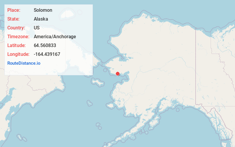
Full AddressSolomon, AK
-
Coordinates64.5608333, -164.4391666
-
LocationAlaska , US
-
TimezoneAmerica/Anchorage
-
Current Local Time6:21:04 PM America/AnchorageFriday, May 30, 2025
-
Page Views0
About Solomon
Solomon is an unincorporated community in the Nome Census Area of the Unorganized Borough of Alaska. As of the 2010 census, the population was zero, down from four in 2000.
The Solomon State Field Airport is located near Solomon. The elevation is 23 feet. The nearest town is Nome, Alaska.

Nearby Places
Found 10 places within 50 miles

Lees Camp
4.3 mi
6.9 km
Lees Camp, AK
Get directions
Port Safety
13.7 mi
22.0 km
Port Safety, AK 99762
Get directions
Cape Nome
18.9 mi
30.4 km
Cape Nome, Alaska 99762
Get directions
Perkinsville
29.0 mi
46.7 km
Perkinsville, Nome, AK 99762
Get directions

Nome
29.1 mi
46.8 km
Nome, AK
Get directions

White Mountain
31.8 mi
51.2 km
White Mountain, AK
Get directions

Council
32.2 mi
51.8 km
Council, AK
Get directions
Pilgrim Springs
39.5 mi
63.6 km
Pilgrim Springs, AK
Get directions
Golovin
41.7 mi
67.1 km
Golovin, AK
Get directions
New Igloo
44.6 mi
71.8 km
New Igloo, AK 99766
Get directions
Location Links
Local Weather
Weather Information
Coming soon!
Location Map
Static map view of Solomon, Alaska
Browse Places by Distance
Places within specific distances from Solomon
Short Distances
Long Distances
Click any distance to see all places within that range from Solomon. Distances shown in miles (1 mile ≈ 1.61 kilometers).