Distance to Sombrillo, New Mexico

Calculating Your Route
Just a moment while we process your request...
Location Information
-
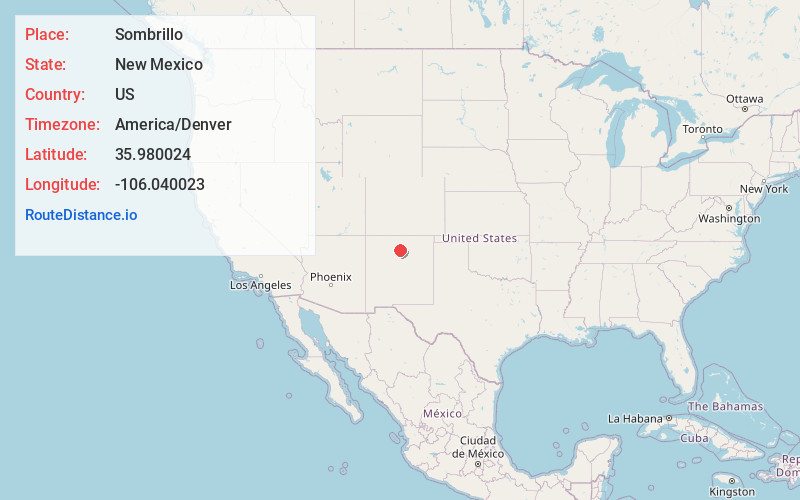
Full AddressSombrillo, NM 87567
-
Coordinates35.9800238, -106.0400228
-
LocationSombrillo , New Mexico , US
-
TimezoneAmerica/Denver
-
Current Local Time9:19:36 PM America/DenverThursday, June 12, 2025
-
Page Views0
About Sombrillo
Sombrillo is a census-designated place in Santa Fe County, New Mexico, United States. It is part of the Santa Fe, New Mexico Metropolitan Statistical Area. The population was 493 according to the 2000 census.
Nearby Places
Found 10 places within 50 miles

Santa Cruz
0.9 mi
1.4 km
Santa Cruz, NM
Get directions
El Valle De Arroyo Seco
1.3 mi
2.1 km
El Valle De Arroyo Seco, NM
Get directions
Cuartelez
1.6 mi
2.6 km
Cuartelez, NM 87567
Get directions
La Mesilla Ditch
1.7 mi
2.7 km
La Mesilla Ditch, New Mexico
Get directions

La Puebla
2.5 mi
4.0 km
La Puebla, NM
Get directions

Ohkay Owingeh
5.3 mi
8.5 km
Ohkay Owingeh, NM
Get directions

Chimayo
5.5 mi
8.9 km
Chimayo, NM
Get directions

Jaconita
6.0 mi
9.7 km
Jaconita, NM 87506
Get directions

Pojoaque
6.1 mi
9.8 km
Pojoaque, NM 87506
Get directions

El Rancho
6.3 mi
10.1 km
El Rancho, NM 87506
Get directions
Location Links
Local Weather
Weather Information
Coming soon!
Location Map
Static map view of Sombrillo, New Mexico
Browse Places by Distance
Places within specific distances from Sombrillo
Short Distances
Long Distances
Click any distance to see all places within that range from Sombrillo. Distances shown in miles (1 mile ≈ 1.61 kilometers).