Distance to South Carrollton, Kentucky

Calculating Your Route
Just a moment while we process your request...
Location Information
-
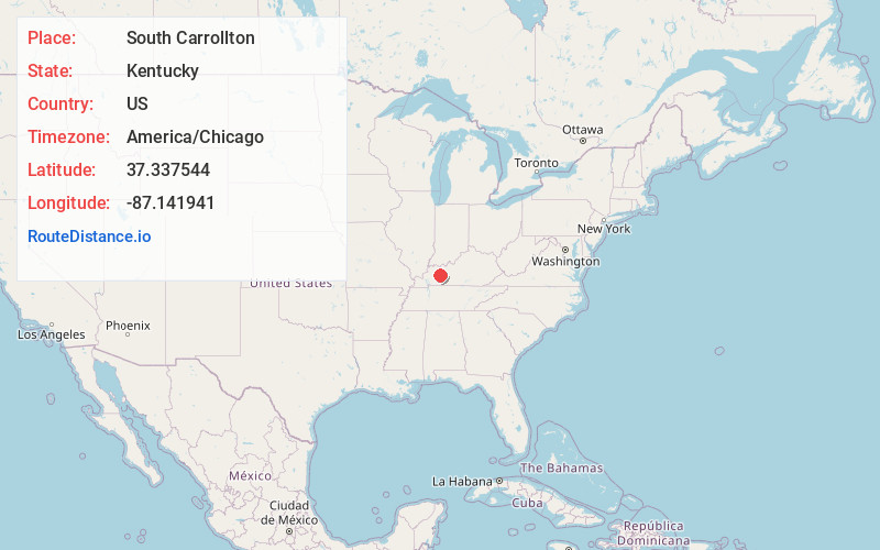
Full AddressSouth Carrollton, KY
-
Coordinates37.3375441, -87.1419405
-
LocationSouth Carrollton , Kentucky , US
-
TimezoneAmerica/Chicago
-
Current Local Time11:30:14 AM America/ChicagoMonday, June 23, 2025
-
Page Views0
About South Carrollton
South Carrollton is a home rule-class city in Muhlenberg County, Kentucky, United States. The population was 141 at the 2020 census, down from 184 in 2010. Founded as "Randolph Old Farm" in 1838, an early pioneer changed the name of the city to honor his son, Carroll.

Nearby Places
Found 10 places within 50 miles

Central City
3.2 mi
5.1 km
Central City, KY 42330
Get directions

Bremen
4.5 mi
7.2 km
Bremen, KY
Get directions

Powderly
7.0 mi
11.3 km
Powderly, KY
Get directions

Island
7.4 mi
11.9 km
Island, KY 42350
Get directions

Rockport
8.0 mi
12.9 km
Rockport, KY
Get directions

Sacramento
8.7 mi
14.0 km
Sacramento, KY 42372
Get directions

Greenville
9.6 mi
15.4 km
Greenville, KY
Get directions

Centertown
9.7 mi
15.6 km
Centertown, KY 42328
Get directions

Drakesboro
9.7 mi
15.6 km
Drakesboro, KY
Get directions

Livermore
10.8 mi
17.4 km
Livermore, KY
Get directions
Location Links
Local Weather
Weather Information
Coming soon!
Location Map
Static map view of South Carrollton, Kentucky
Browse Places by Distance
Places within specific distances from South Carrollton
Short Distances
Long Distances
Click any distance to see all places within that range from South Carrollton. Distances shown in miles (1 mile ≈ 1.61 kilometers).