Distance to South Elkhorn Creek, Kentucky

Calculating Your Route
Just a moment while we process your request...
Location Information
-
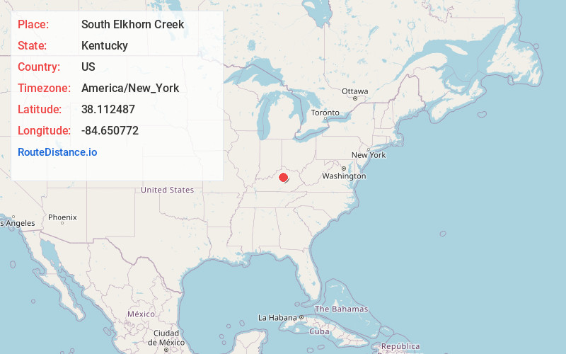
Full AddressSouth Elkhorn Creek, Kentucky
-
Coordinates38.1124866, -84.6507716
-
LocationKentucky , US
-
TimezoneAmerica/New_York
-
Current Local Time3:36:21 AM America/New_YorkSaturday, May 31, 2025
-
Page Views0


Nearby Places
Found 10 places within 50 miles

Faywood
0.8 mi
1.3 km
Faywood, KY 40383
Get directions
Zion Hill
0.9 mi
1.4 km
Zion Hill, KY 40511
Get directions
Wallace
2.3 mi
3.7 km
Wallace, KY 40347
Get directions
Paynes Depot
2.5 mi
4.0 km
Paynes Depot, KY 40511
Get directions

Midway
3.2 mi
5.1 km
Midway, KY
Get directions
Elk Chester
3.3 mi
5.3 km
Elk Chester, Lexington, KY 40510
Get directions
Bonita
3.6 mi
5.8 km
Bonita, KY 40383
Get directions
Pisgah
3.9 mi
6.3 km
Pisgah, KY 40383
Get directions
Firmantown
4.2 mi
6.8 km
Firmantown, KY 40383
Get directions
Gaybourn
4.9 mi
7.9 km
Gaybourn, KY 40383
Get directions
Location Links
Local Weather
Weather Information
Coming soon!
Location Map
Static map view of South Elkhorn Creek, Kentucky
Browse Places by Distance
Places within specific distances from South Elkhorn Creek
Short Distances
Long Distances
Click any distance to see all places within that range from South Elkhorn Creek. Distances shown in miles (1 mile ≈ 1.61 kilometers).