Distance to South Hampton, New Hampshire

Calculating Your Route
Just a moment while we process your request...
Location Information
-
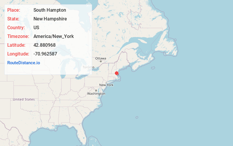
Full AddressSouth Hampton, NH
-
Coordinates42.8809681, -70.9625872
-
LocationSouth Hampton , New Hampshire , US
-
TimezoneAmerica/New_York
-
Current Local Time5:05:48 PM America/New_YorkSunday, June 1, 2025
-
Page Views0
About South Hampton
South Hampton is a town in Rockingham County, New Hampshire, United States. The population was 894 at the 2020 census. South Hampton is home to Cowden State Forest and Powwow River State Forest.

Nearby Places
Found 10 places within 50 miles

Amesbury
2.3 mi
3.7 km
Amesbury, MA
Get directions

Kensington
3.3 mi
5.3 km
Kensington, NH
Get directions

Newton
3.7 mi
6.0 km
Newton, NH 03858
Get directions

Merrimac
3.8 mi
6.1 km
Merrimac, MA 01860
Get directions

East Kingston
4.1 mi
6.6 km
East Kingston, NH
Get directions

Seabrook
5.0 mi
8.0 km
Seabrook, NH
Get directions

Hampton Falls
5.6 mi
9.0 km
Hampton Falls, NH
Get directions

West Newbury
5.7 mi
9.2 km
West Newbury, MA
Get directions

Salisbury
5.8 mi
9.3 km
Salisbury, MA
Get directions

Kingston
6.0 mi
9.7 km
Kingston, NH
Get directions
Location Links
Local Weather
Weather Information
Coming soon!
Location Map
Static map view of South Hampton, New Hampshire
Browse Places by Distance
Places within specific distances from South Hampton
Short Distances
Long Distances
Click any distance to see all places within that range from South Hampton. Distances shown in miles (1 mile ≈ 1.61 kilometers).