Distance to South Side, North Carolina

Calculating Your Route
Just a moment while we process your request...
Location Information
-
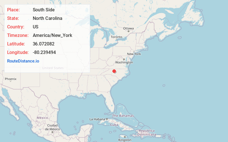
Full AddressSouth Side, Winston-Salem, NC 27127
-
Coordinates36.0720817, -80.2394937
-
LocationWinston-Salem , North Carolina , US
-
TimezoneAmerica/New_York
-
Current Local Time9:47:26 PM America/New_YorkMonday, June 9, 2025
-
Page Views0
Nearby Places
Found 10 places within 50 miles

Winston-Salem
1.6 mi
2.6 km
Winston-Salem, NC
Get directions

Union Ridge
1.6 mi
2.6 km
Union Ridge, Winston-Salem, NC 27107
Get directions
Hootstown
2.2 mi
3.5 km
Hootstown, Winston-Salem, NC 27127
Get directions
Swaimtown
3.5 mi
5.6 km
Swaimtown, Winston-Salem, NC 27127
Get directions

Buena Vista
3.6 mi
5.8 km
Buena Vista, Winston-Salem, NC 27104
Get directions
Burke Park
3.8 mi
6.1 km
Burke Park, Winston-Salem, NC 27103
Get directions
Gum Tree
5.7 mi
9.2 km
Gum Tree, NC 27107
Get directions
Jonestown
6.0 mi
9.7 km
Jonestown, Winston-Salem, NC 27103
Get directions
Muddy Creek
6.6 mi
10.6 km
Muddy Creek, NC 27127
Get directions

Wallburg
7.1 mi
11.4 km
Wallburg, NC
Get directions
Location Links
Local Weather
Weather Information
Coming soon!
Location Map
Static map view of South Side, North Carolina
Browse Places by Distance
Places within specific distances from South Side
Short Distances
Long Distances
Click any distance to see all places within that range from South Side. Distances shown in miles (1 mile ≈ 1.61 kilometers).