Distance to Speedwell, Kentucky

Calculating Your Route
Just a moment while we process your request...
Location Information
-
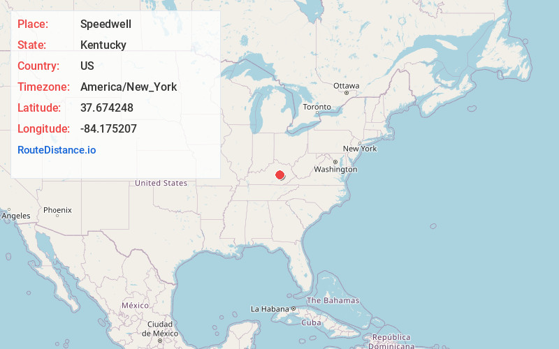
Full AddressSpeedwell, KY 40475
-
Coordinates37.6742481, -84.1752074
-
LocationSpeedwell , Kentucky , US
-
TimezoneAmerica/New_York
-
Current Local Time5:38:03 PM America/New_YorkSaturday, June 21, 2025
-
Page Views0
About Speedwell
Speedwell is an unincorporated community located in Madison County, Kentucky, United States. A post office was opened for the community in 1852, and closed in 1939. It is located at the junction of Kentucky Route 374 and Kentucky Route 499.
The community is named for Congressman John Speed Smith.
Nearby Places
Found 10 places within 50 miles

Brassfield
1.6 mi
2.6 km
Brassfield, KY 40385
Get directions
Dreyfus
3.9 mi
6.3 km
Dreyfus, KY 40385
Get directions
Terrill
4.7 mi
7.6 km
Terrill, KY 40475
Get directions
Bobtown
4.9 mi
7.9 km
Bobtown, KY 40403
Get directions
Bybee
4.9 mi
7.9 km
Bybee, KY 40385
Get directions
Waco
5.0 mi
8.0 km
Waco, KY 40385
Get directions
Reeds Crossing
5.2 mi
8.4 km
Reeds Crossing, KY 40475
Get directions
Winston
5.5 mi
8.9 km
Winston, KY 40336
Get directions
Duluth
6.6 mi
10.6 km
Duluth, KY 40403
Get directions
Duncanon
6.7 mi
10.8 km
Duncanon, KY 40475
Get directions
Location Links
Local Weather
Weather Information
Coming soon!
Location Map
Static map view of Speedwell, Kentucky
Browse Places by Distance
Places within specific distances from Speedwell
Short Distances
Long Distances
Click any distance to see all places within that range from Speedwell. Distances shown in miles (1 mile ≈ 1.61 kilometers).