Distance to Spencer, Missouri

Calculating Your Route
Just a moment while we process your request...
Location Information
-
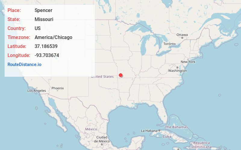
Full AddressSpencer, MO 65707
-
Coordinates37.186539, -93.703674
-
LocationSpencer , Missouri , US
-
TimezoneAmerica/Chicago
-
Current Local Time3:39:12 PM America/ChicagoWednesday, July 2, 2025
-
Page Views0
About Spencer
Spencer is a small unincorporated crossroads in eastern Lawrence County, Missouri, United States. It lies along former U.S. Route 66 approximately six miles west of Halltown.
A post office called Spencer was established in 1868, and remained in operation until 1907. The community was named after a local merchant.


Nearby Places
Found 10 places within 50 miles

Halltown
4.3 mi
6.9 km
Halltown, MO
Get directions

Lawrenceburg
4.7 mi
7.6 km
Lawrenceburg, Ozark Township, MO 65646
Get directions
Stinson
4.9 mi
7.9 km
Stinson, MO 65707
Get directions

Chesapeake
5.0 mi
8.0 km
Chesapeake, MO 65712
Get directions
Heatonville
5.3 mi
8.5 km
Heatonville, Lincoln Township, MO 65712
Get directions
Albatross
7.5 mi
12.1 km
Albatross, MO 65707
Get directions
Miller
7.7 mi
12.4 km
Miller, MO 65707
Get directions

Plano
8.4 mi
13.5 km
Plano, Pond Creek Township, MO 65612
Get directions

Mt Vernon
8.5 mi
13.7 km
Mt Vernon, MO 65712
Get directions
McKinley
9.6 mi
15.4 km
McKinley, MO 65705
Get directions
Location Links
Local Weather
Weather Information
Coming soon!
Location Map
Static map view of Spencer, Missouri
Browse Places by Distance
Places within specific distances from Spencer
Short Distances
Long Distances
Click any distance to see all places within that range from Spencer. Distances shown in miles (1 mile ≈ 1.61 kilometers).