Distance to Spiveys Corner, North Carolina

Calculating Your Route
Just a moment while we process your request...
Location Information
-
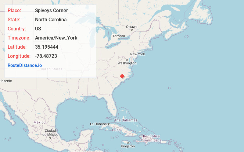
Full AddressSpiveys Corner, NC
-
Coordinates35.1954436, -78.48723
-
LocationSpiveys Corner , North Carolina , US
-
TimezoneAmerica/New_York
-
Current Local Time2:39:17 PM America/New_YorkMonday, May 19, 2025
-
Page Views0
About Spiveys Corner
Spivey's Corner is a census-designated place located in Sampson County, North Carolina, United States, at the intersection of U.S. Highway 13 and U.S. Highway 421. At the 2020 census, the CDP had a total population of 576.
From 1969 to 2015, Spivey's Corner was the home of the National Hollerin' Contest.


Nearby Places
Found 10 places within 50 miles

Timothy
2.6 mi
4.2 km
Timothy, NC 28334
Get directions
Rosin Hill
4.2 mi
6.8 km
Rosin Hill, NC 28366
Get directions
Mingo
4.6 mi
7.4 km
Mingo, NC 28334
Get directions
McKoy
4.7 mi
7.6 km
McKoy, NC 28334
Get directions
Vann Crossroads
5.2 mi
8.4 km
Vann Crossroads, NC
Get directions
Plain View
5.3 mi
8.5 km
Plain View, NC 28334
Get directions
McLamb Crossroads
5.8 mi
9.3 km
McLamb Crossroads, NC 28366
Get directions
Blackmans Mills
5.8 mi
9.3 km
Blackmans Mills, NC 28334
Get directions
Halls Store
6.3 mi
10.1 km
Halls Store, NC 28318
Get directions
Beaman Crossroads
6.7 mi
10.8 km
Beaman Crossroads, NC 28328
Get directions
Location Links
Local Weather
Weather Information
Coming soon!
Location Map
Static map view of Spiveys Corner, North Carolina
Browse Places by Distance
Places within specific distances from Spiveys Corner
Short Distances
Long Distances
Click any distance to see all places within that range from Spiveys Corner. Distances shown in miles (1 mile ≈ 1.61 kilometers).