Distance to Spofford, Texas

Calculating Your Route
Just a moment while we process your request...
Location Information
-
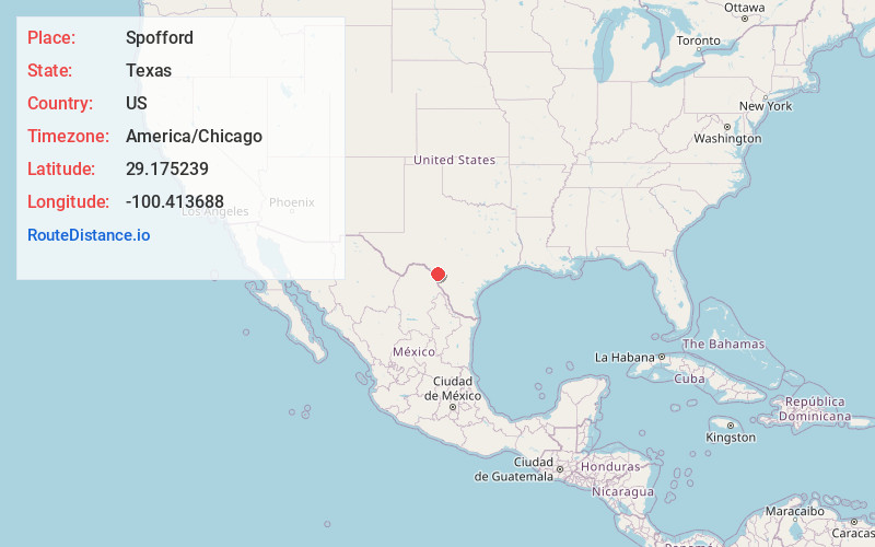
Full AddressSpofford, TX 78832
-
Coordinates29.1752389, -100.4136881
-
LocationSpofford , Texas , US
-
TimezoneAmerica/Chicago
-
Current Local Time7:49:52 AM America/ChicagoThursday, June 5, 2025
-
Page Views0
About Spofford
Spofford is a city in Kinney County, Texas, United States. The population was 41 at the 2020 census.


Nearby Places
Found 10 places within 50 miles

Brackettville
9.4 mi
15.1 km
Brackettville, TX 78832
Get directions

Laughlin AFB
25.5 mi
41.0 km
Laughlin AFB, TX
Get directions

Elm Creek
28.1 mi
45.2 km
Elm Creek, TX 78852
Get directions

Del Rio
32.1 mi
51.7 km
Del Rio, TX 78840
Get directions

Eagle Pass
32.6 mi
52.5 km
Eagle Pass, TX 78852
Get directions
Las Quintas Fronterizas
33.7 mi
54.2 km
Las Quintas Fronterizas, TX 78852
Get directions

Cienegas Terrace
34.6 mi
55.7 km
Cienegas Terrace, TX 78840
Get directions

Uvalde Estates
35.1 mi
56.5 km
Uvalde Estates, TX 78801
Get directions
Eidson Road
35.3 mi
56.8 km
Eidson Road, TX 78852
Get directions
Rosita North
36.1 mi
58.1 km
Rosita North, TX 78852
Get directions
Location Links
Local Weather
Weather Information
Coming soon!
Location Map
Static map view of Spofford, Texas
Browse Places by Distance
Places within specific distances from Spofford
Short Distances
Long Distances
Click any distance to see all places within that range from Spofford. Distances shown in miles (1 mile ≈ 1.61 kilometers).