Distance to Spohrs Crossroads, West Virginia

Calculating Your Route
Just a moment while we process your request...
Location Information
-
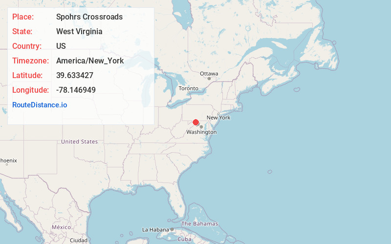
Full AddressSpohrs Crossroads, WV 25411
-
Coordinates39.6334272, -78.1469494
-
LocationSpohrs Crossroads , West Virginia , US
-
TimezoneAmerica/New_York
-
Current Local Time4:19:52 PM America/New_YorkSunday, June 1, 2025
-
Page Views0
About Spohrs Crossroads
Spohrs Crossroads is an unincorporated community along Martinsburg Road to the west of Sleepy Creek in Morgan County in the U.S. state of West Virginia. The community was originally named Spohrs Cross Roads for the local Spohr family. It is sometimes erroneously known as Stohrs Cross Roads or Stohrs Crossroads.
Nearby Places
Found 10 places within 50 miles

Berkeley Springs
4.3 mi
6.9 km
Berkeley Springs, WV 25411
Get directions

Hancock
5.1 mi
8.2 km
Hancock, MD 21750
Get directions

Cohill
5.8 mi
9.3 km
Cohill, MD 21750
Get directions
Pecktonville
6.0 mi
9.7 km
Pecktonville, MD 21711
Get directions

Cherry Run
6.0 mi
9.7 km
Cherry Run, WV 25427
Get directions

Big Pool
7.0 mi
11.3 km
Big Pool, MD 21711
Get directions
Sir Johns Run
7.2 mi
11.6 km
Sir Johns Run, West Virginia 25411
Get directions
Indian Springs
7.7 mi
12.4 km
Indian Springs, MD
Get directions

Great Cacapon
7.8 mi
12.6 km
Great Cacapon, WV 25422
Get directions

Sleepy Creek Lake
7.9 mi
12.7 km
Sleepy Creek Lake, West Virginia 25427
Get directions
Location Links
Local Weather
Weather Information
Coming soon!
Location Map
Static map view of Spohrs Crossroads, West Virginia
Browse Places by Distance
Places within specific distances from Spohrs Crossroads
Short Distances
Long Distances
Click any distance to see all places within that range from Spohrs Crossroads. Distances shown in miles (1 mile ≈ 1.61 kilometers).