Distance to Spring Church, Pennsylvania

Calculating Your Route
Just a moment while we process your request...
Location Information
-
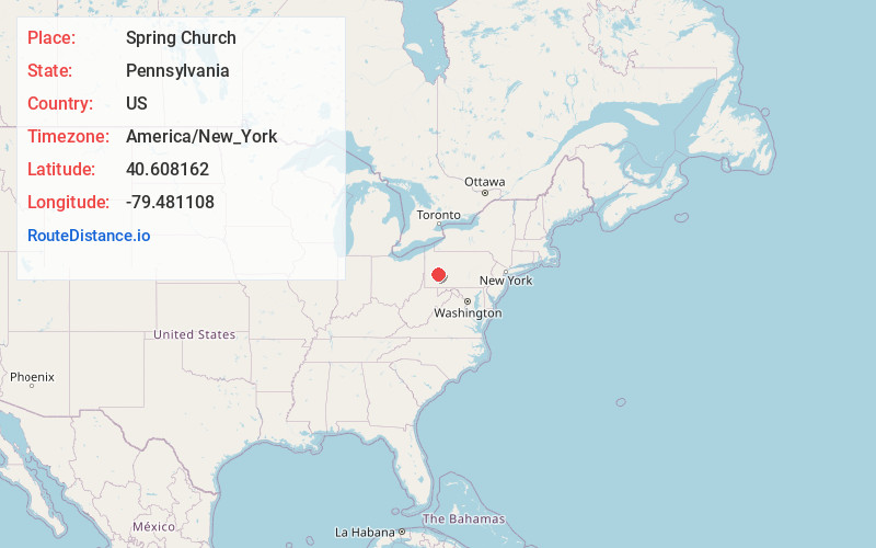
Full AddressSpring Church, PA
-
Coordinates40.6081618, -79.4811077
-
LocationSpring Church , Pennsylvania , US
-
TimezoneAmerica/New_York
-
Current Local Time9:03:20 AM America/New_YorkMonday, June 23, 2025
-
Page Views0
About Spring Church
Spring Church is an unincorporated community in Armstrong County, Pennsylvania, United States. The community is located along Pennsylvania Route 56, 4.4 miles east-northeast of Apollo. Spring Church has a post office, with ZIP code 15686.
Nearby Places
Found 10 places within 50 miles

Shady Plain
2.3 mi
3.7 km
Shady Plain, Kiskiminetas Township, PA 15686
Get directions
Mateer
2.4 mi
3.9 km
Mateer, Burrell Township, PA 15690
Get directions
Orchard Hills
3.0 mi
4.8 km
Orchard Hills, PA 15613
Get directions
Olivet
3.9 mi
6.3 km
Olivet, PA 15681
Get directions
North Apollo
4.0 mi
6.4 km
North Apollo, PA
Get directions

Parks Township
4.0 mi
6.4 km
Parks Township, PA
Get directions
North Vandergrift
4.1 mi
6.6 km
North Vandergrift, PA 15690
Get directions
East Vandergrift
4.3 mi
6.9 km
East Vandergrift, PA
Get directions
Dime
4.3 mi
6.9 km
Dime, Parks Township, PA 15690
Get directions

Vandergrift
4.4 mi
7.1 km
Vandergrift, PA 15690
Get directions
Location Links
Local Weather
Weather Information
Coming soon!
Location Map
Static map view of Spring Church, Pennsylvania
Browse Places by Distance
Places within specific distances from Spring Church
Short Distances
Long Distances
Click any distance to see all places within that range from Spring Church. Distances shown in miles (1 mile ≈ 1.61 kilometers).