Distance to Spring City, Pennsylvania

Calculating Your Route
Just a moment while we process your request...
Location Information
-
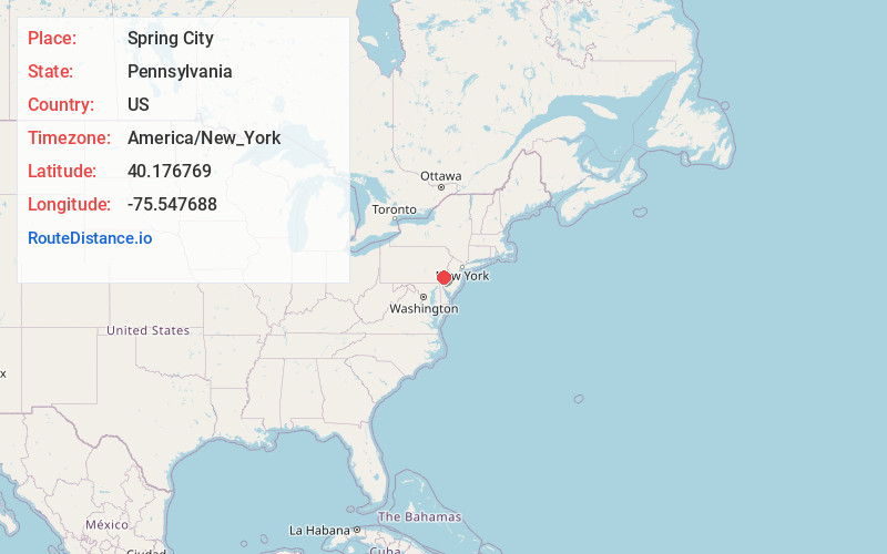
Full AddressSpring City, PA 19475
-
Coordinates40.1767688, -75.5476876
-
LocationSpring City , Pennsylvania , US
-
TimezoneAmerica/New_York
-
Current Local Time11:37:05 AM America/New_YorkSaturday, June 7, 2025
-
Website
-
Page Views0
About Spring City
Spring City is a borough in Chester County, Pennsylvania, United States. The population was 3,494 at the 2020 census. Spring City is a member of the Spring-Ford Area School District.
It is situated along the Schuylkill River, which divides Chester and Montgomery counties.


Nearby Places
Found 10 places within 50 miles

Royersford
0.7 mi
1.1 km
Royersford, PA 19468
Get directions

East Vincent Township
2.2 mi
3.5 km
East Vincent Township, PA
Get directions

Upper Providence Township
2.7 mi
4.3 km
Upper Providence Township, PA
Get directions

East Pikeland Township
2.9 mi
4.7 km
East Pikeland Township, PA
Get directions

Phoenixville
3.6 mi
5.8 km
Phoenixville, PA 19460
Get directions

East Coventry Township
3.9 mi
6.3 km
East Coventry Township, PA
Get directions

Trappe
4.1 mi
6.6 km
Trappe, PA 19426
Get directions

Collegeville
5.1 mi
8.2 km
Collegeville, PA 19426
Get directions

Sanatoga
5.3 mi
8.5 km
Sanatoga, PA 19464
Get directions
Lower Pottsgrove Township
5.9 mi
9.5 km
Lower Pottsgrove Township, PA
Get directions
Location Links
Local Weather
Weather Information
Coming soon!
Location Map
Static map view of Spring City, Pennsylvania
Browse Places by Distance
Places within specific distances from Spring City
Short Distances
Long Distances
Click any distance to see all places within that range from Spring City. Distances shown in miles (1 mile ≈ 1.61 kilometers).