Distance to Spring Creek Township, Kansas

Calculating Your Route
Just a moment while we process your request...
Location Information
-
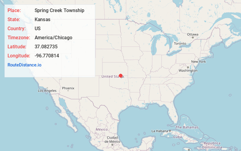
Full AddressSpring Creek Township, KS
-
Coordinates37.0827349, -96.7708138
-
LocationSpring Creek Township , Kansas , US
-
TimezoneAmerica/Chicago
-
Current Local Time12:30:53 PM America/ChicagoMonday, June 23, 2025
-
Page Views0
About Spring Creek Township
Spring Creek Township is a township in Cowley County, Kansas, United States. As of the 2000 census, its population was 77.
Nearby Places
Found 10 places within 50 miles

Maple City
1.9 mi
3.1 km
Maple City, KS 67038
Get directions
Vinton
3.4 mi
5.5 km
Vinton, Silverdale Township, KS 67038
Get directions
Cameron
4.6 mi
7.4 km
Cameron, Silverdale Township, KS 67005
Get directions

Dexter
7.2 mi
11.6 km
Dexter, KS 67038
Get directions

Silverdale
7.8 mi
12.6 km
Silverdale, KS 67005
Get directions
Hardy
7.9 mi
12.7 km
Hardy, OK 74647
Get directions
Hooser
8.6 mi
13.8 km
Hooser, KS 67038
Get directions
Frankfort
8.9 mi
14.3 km
Frankfort, OK 74652
Get directions
Eaton
10.2 mi
16.4 km
Eaton, Sheridan Township, KS 67019
Get directions
Taussig
11.1 mi
17.9 km
Taussig, Otter Township, KS 67024
Get directions
Location Links
Local Weather
Weather Information
Coming soon!
Location Map
Static map view of Spring Creek Township, Kansas
Browse Places by Distance
Places within specific distances from Spring Creek Township
Short Distances
Long Distances
Click any distance to see all places within that range from Spring Creek Township. Distances shown in miles (1 mile ≈ 1.61 kilometers).