Distance to Spring Glen, New York

Calculating Your Route
Just a moment while we process your request...
Location Information
-
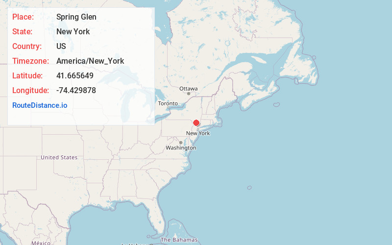
Full AddressSpring Glen, NY 12428
-
Coordinates41.6656492, -74.4298783
-
LocationSpring Glen , New York , US
-
TimezoneAmerica/New_York
-
Current Local Time6:01:49 AM America/New_YorkSunday, June 29, 2025
-
Page Views0
About Spring Glen
Spring Glen is a hamlet of the Town of Wawarsing in Ulster County, New York, United States. It is located just off US 209 just north of the Sullivan County line. It sits along the Sandburg Creek and has a direct access point for parking and hiking to the highest point of the Shawangunk Ridge Trail at over 1800 feet.
Nearby Places
Found 10 places within 50 miles

Cragsmoor
2.4 mi
3.9 km
Cragsmoor, NY 12566
Get directions

Walker Valley
3.5 mi
5.6 km
Walker Valley, NY 12566
Get directions

Ellenville
4.0 mi
6.4 km
Ellenville, NY
Get directions

Mountain Dale
5.5 mi
8.9 km
Mountain Dale, NY 12763
Get directions

Mamakating
5.8 mi
9.3 km
Mamakating, NY
Get directions

Napanoch
6.0 mi
9.7 km
Napanoch, NY
Get directions

Wurtsboro Hills
6.5 mi
10.5 km
Wurtsboro Hills, NY 12790
Get directions

Wurtsboro
6.8 mi
10.9 km
Wurtsboro, NY 12790
Get directions

Port Ben
7.2 mi
11.6 km
Port Ben, Wawarsing, NY 12489
Get directions
High View
7.6 mi
12.2 km
High View, Mamakating, NY 12721
Get directions
Location Links
Local Weather
Weather Information
Coming soon!
Location Map
Static map view of Spring Glen, New York
Browse Places by Distance
Places within specific distances from Spring Glen
Short Distances
Long Distances
Click any distance to see all places within that range from Spring Glen. Distances shown in miles (1 mile ≈ 1.61 kilometers).