Distance to Spring Hill, Minnesota

Calculating Your Route
Just a moment while we process your request...
Location Information
-
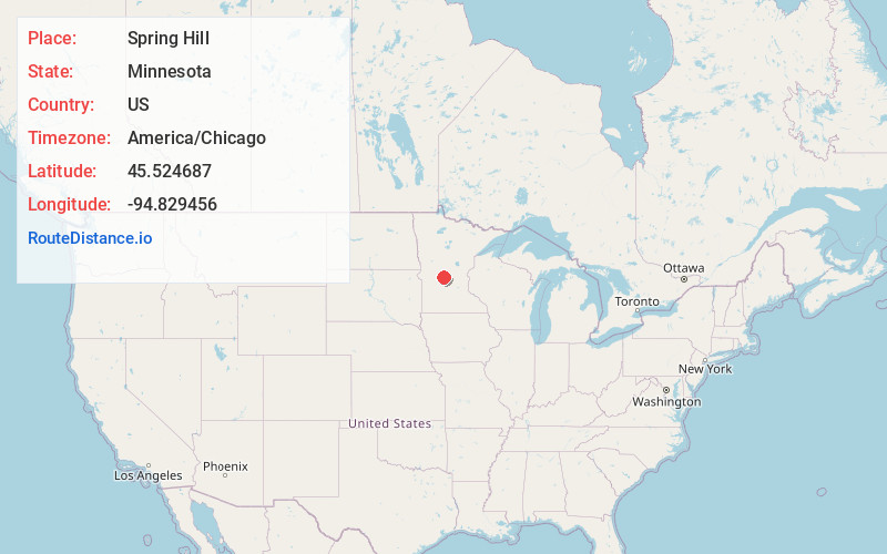
Full AddressSpring Hill, MN
-
Coordinates45.524687, -94.8294561
-
LocationSpring Hill , Minnesota , US
-
TimezoneAmerica/Chicago
-
Current Local Time4:29:57 AM America/ChicagoFriday, June 27, 2025
-
Page Views0
About Spring Hill
Spring Hill is a city in Stearns County, Minnesota, United States. The population was 85 at the 2010 census. It is part of the St. Cloud Metropolitan Statistical Area.
Minnesota State Highway 4 serves as a main route in the community.
Nearby Places
Found 10 places within 50 miles

Greenwald
5.5 mi
8.9 km
Greenwald, MN 56352
Get directions

Elrosa
6.3 mi
10.1 km
Elrosa, MN
Get directions
Meire Grove
7.5 mi
12.1 km
Meire Grove, MN 56352
Get directions
St Martin
7.9 mi
12.7 km
St Martin, MN
Get directions
New Munich
8.2 mi
13.2 km
New Munich, MN
Get directions

Belgrade
9.8 mi
15.8 km
Belgrade, MN 56312
Get directions

Melrose
10.4 mi
16.7 km
Melrose, MN 56352
Get directions
Roscoe
11.1 mi
17.9 km
Roscoe, MN 56371
Get directions

Paynesville
11.4 mi
18.3 km
Paynesville, MN 56362
Get directions

Freeport
11.7 mi
18.8 km
Freeport, MN 56331
Get directions
Location Links
Local Weather
Weather Information
Coming soon!
Location Map
Static map view of Spring Hill, Minnesota
Browse Places by Distance
Places within specific distances from Spring Hill
Short Distances
Long Distances
Click any distance to see all places within that range from Spring Hill. Distances shown in miles (1 mile ≈ 1.61 kilometers).