Distance to Springdale, Oregon

Calculating Your Route
Just a moment while we process your request...
Location Information
-
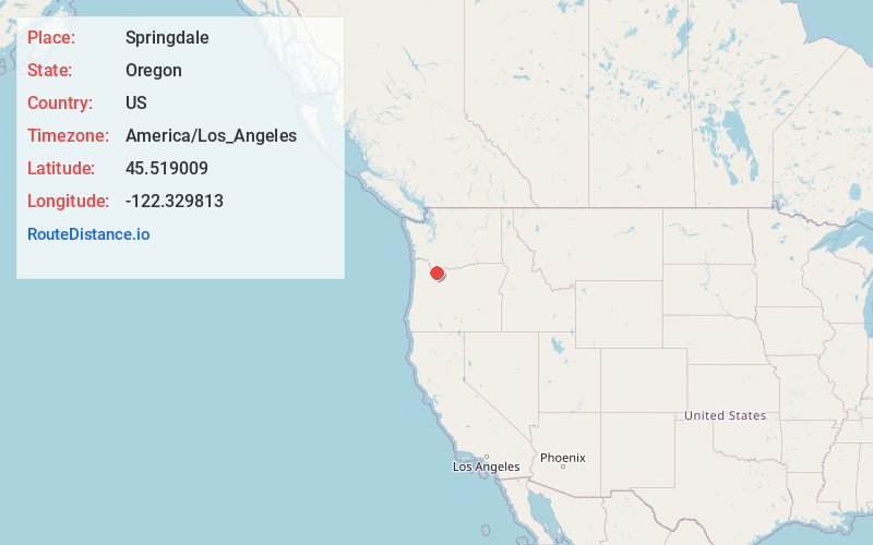
Full AddressSpringdale, OR 97019
-
Coordinates45.5190089, -122.3298128
-
LocationSpringdale , Oregon , US
-
TimezoneAmerica/Los_Angeles
-
Current Local Time4:30:10 PM America/Los_AngelesThursday, July 3, 2025
-
Page Views0
About Springdale
Springdale is an unincorporated community in Multnomah County in the U.S. state of Oregon. Located between Troutdale and Corbett on the Historic Columbia River Highway, it was named for the many springs in the area. In the 1890s, the east end of the community was called Springdale, but the west end was called Gage.
Nearby Places
Found 10 places within 50 miles

Troutdale
3.4 mi
5.5 km
Troutdale, OR 97060
Get directions

Orient
3.7 mi
6.0 km
Orient, OR 97080
Get directions

Wood Village
4.4 mi
7.1 km
Wood Village, OR 97060
Get directions

Washougal
4.4 mi
7.1 km
Washougal, WA
Get directions

Gresham
5.2 mi
8.4 km
Gresham, OR
Get directions

Fairview
5.2 mi
8.4 km
Fairview, OR 97024
Get directions

Camas
5.8 mi
9.3 km
Camas, WA
Get directions

Boring
6.4 mi
10.3 km
Boring, OR
Get directions

Fern Prairie
8.8 mi
14.2 km
Fern Prairie, WA
Get directions

Sandy
9.0 mi
14.5 km
Sandy, OR
Get directions
Location Links
Local Weather
Weather Information
Coming soon!
Location Map
Static map view of Springdale, Oregon
Browse Places by Distance
Places within specific distances from Springdale
Short Distances
Long Distances
Click any distance to see all places within that range from Springdale. Distances shown in miles (1 mile ≈ 1.61 kilometers).