Distance to Springfield, Minnesota

Calculating Your Route
Just a moment while we process your request...
Location Information
-
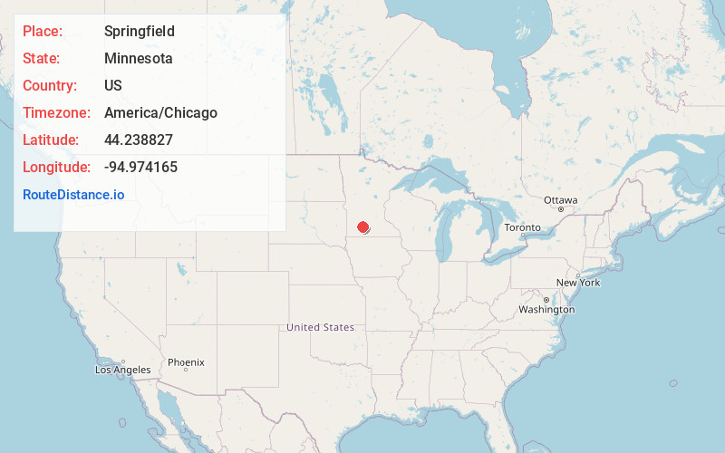
Full AddressSpringfield, MN 56087
-
Coordinates44.2388271, -94.9741654
-
LocationSpringfield , Minnesota , US
-
TimezoneAmerica/Chicago
-
Current Local Time9:44:49 AM America/ChicagoFriday, June 20, 2025
-
Website
-
Page Views0
About Springfield
Springfield is a city in Brown County, Minnesota, United States. The population was 2,152 at the 2010 census.
U.S. Highway 14 serves as a main route in the community. This location is in the middle of some of Minnesota's most productive farmland.


Nearby Places
Found 10 places within 50 miles

Sleepy Eye
12.9 mi
20.8 km
Sleepy Eye, MN 56085
Get directions

Redwood Falls
21.9 mi
35.2 km
Redwood Falls, MN 56283
Get directions

St James
24.7 mi
39.8 km
St James, MN 56081
Get directions

New Ulm
26.0 mi
41.8 km
New Ulm, MN 56073
Get directions

Windom
26.2 mi
42.2 km
Windom, MN 56101
Get directions

Madelia
30.5 mi
49.1 km
Madelia, MN 56062
Get directions

Olivia
37.2 mi
59.9 km
Olivia, MN 56277
Get directions

Lake Crystal
38.6 mi
62.1 km
Lake Crystal, MN 56055
Get directions

Jackson
42.7 mi
68.7 km
Jackson, MN 56143
Get directions

Marshall
42.9 mi
69.0 km
Marshall, MN 56258
Get directions
Location Links
Local Weather
Weather Information
Coming soon!
Location Map
Static map view of Springfield, Minnesota
Browse Places by Distance
Places within specific distances from Springfield
Short Distances
Long Distances
Click any distance to see all places within that range from Springfield. Distances shown in miles (1 mile ≈ 1.61 kilometers).