Distance to Springfield, Ohio

Calculating Your Route
Just a moment while we process your request...
Location Information
-
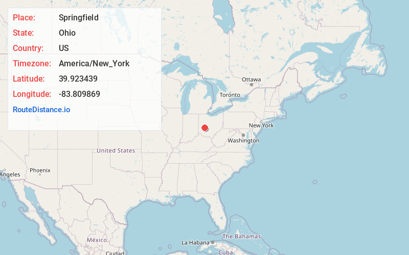
Full AddressSpringfield, OH
-
Coordinates39.9234389, -83.8098689
-
LocationSpringfield , Ohio , US
-
TimezoneAmerica/New_York
-
Current Local Time6:40:03 PM America/New_YorkFriday, June 20, 2025
-
Website
-
Page Views0
About Springfield
Springfield is a city in Clark County, Ohio, United States, and its county seat. The municipality is located in southwestern Ohio and is situated on the Mad River, Buck Creek, and Beaver Creek, about 45 miles west of Columbus and 25 miles northeast of Dayton.


Nearby Places


Location Links
Local Weather
Weather Information
Coming soon!
Location Map
Static map view of Springfield, Ohio
Browse Places by Distance
Places within specific distances from Springfield
Short Distances
Long Distances
Click any distance to see all places within that range from Springfield. Distances shown in miles (1 mile ≈ 1.61 kilometers).