Distance to Springfield, California

Calculating Your Route
Just a moment while we process your request...
Location Information
-
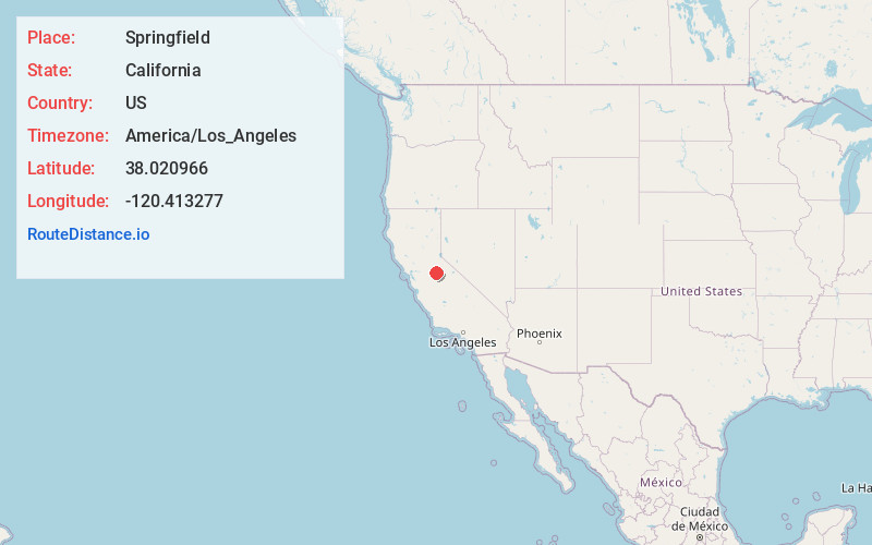
Full AddressSpringfield, CA 95370
-
Coordinates38.020966, -120.413277
-
LocationSpringfield , California , US
-
TimezoneAmerica/Los_Angeles
-
Current Local Time9:19:48 AM America/Los_AngelesFriday, June 20, 2025
-
Page Views0
About Springfield
Springfield is an unincorporated community located in Tuolumne County, California. It is a former California Gold Rush boomtown in the foothills of the Sierra Nevada, and is now designated as a California Historical Landmark. Springfield is located 1.1 mi SW of Columbia, another gold rush boomtown.
Nearby Places
Found 10 places within 50 miles

Shaws Flat
0.9 mi
1.4 km
Shaws Flat, CA 95370
Get directions

Columbia
1.2 mi
1.9 km
Columbia, CA
Get directions
Tuttletown
2.7 mi
4.3 km
Tuttletown, CA
Get directions

Sonora
3.1 mi
5.0 km
Sonora, CA 95370
Get directions
East Sonora
4.1 mi
6.6 km
East Sonora, CA 95370
Get directions
Melones
4.6 mi
7.4 km
Melones, CA 95222
Get directions

Jamestown
4.7 mi
7.6 km
Jamestown, CA
Get directions

Carson Hill
5.1 mi
8.2 km
Carson Hill, CA 95222
Get directions

Phoenix Lake
5.6 mi
9.0 km
Phoenix Lake, CA 95370
Get directions

Vallecito
5.8 mi
9.3 km
Vallecito, CA
Get directions
Location Links
Local Weather
Weather Information
Coming soon!
Location Map
Static map view of Springfield, California
Browse Places by Distance
Places within specific distances from Springfield
Short Distances
Long Distances
Click any distance to see all places within that range from Springfield. Distances shown in miles (1 mile ≈ 1.61 kilometers).