Distance to Springhope, Pennsylvania

Calculating Your Route
Just a moment while we process your request...
Location Information
-
Full AddressSpringhope, East St Clair Township, PA 15559
-
Coordinates40.1031349, -78.5994627
-
LocationEast St Clair Township , Pennsylvania , US
-
TimezoneAmerica/New_York
-
Current Local Time8:20:36 AM America/New_YorkSaturday, May 31, 2025
-
Page Views0
Nearby Places
Found 10 places within 50 miles

Chestnut Ridge School District
0.9 mi
1.4 km
Chestnut Ridge School District, PA
Get directions
Fishertown
1.7 mi
2.7 km
Fishertown, PA 15539
Get directions
Point
1.8 mi
2.9 km
Point, Napier Township, PA 15522
Get directions

New Paris
2.4 mi
3.9 km
New Paris, PA 15554
Get directions

East St Clair Township
3.4 mi
5.5 km
East St Clair Township, PA
Get directions
Ryot
3.6 mi
5.8 km
Ryot, West St Clair Township, PA 15554
Get directions
Reynoldsdale
3.8 mi
6.1 km
Reynoldsdale, East St Clair Township, PA 15554
Get directions

Schellsburg
4.4 mi
7.1 km
Schellsburg, PA 15559
Get directions
West St Clair Township
5.0 mi
8.0 km
West St Clair Township, PA
Get directions
Belden
5.3 mi
8.5 km
Belden, Bedford Township, PA 15522
Get directions
Location Links
Local Weather
Weather Information
Coming soon!
Location Map
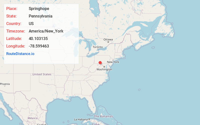
Static map view of Springhope, Pennsylvania
Browse Places by Distance
Places within specific distances from Springhope
Short Distances
Long Distances
Click any distance to see all places within that range from Springhope. Distances shown in miles (1 mile ≈ 1.61 kilometers).